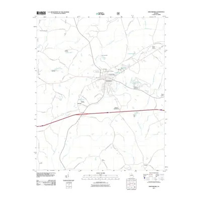
2011 Map of Greensboro
USGS Topo · Published 2011About this map
Greensboro serves as the central hub of this Georgia survey, showing a network of radial roads and local infrastructure that connects the surrounding rural communities. The map identifies several significant burial sites for genealogical research, including the Greensboro City Cemetery on Cemetery Hill and the more distant Ayers Cemetery, Walker Cemetery, and Wesley Chapel Cemetery. The landscape is defined by its many small water bodies and engineered dams, such as Lassiter Lake, Parker Lake, and Webb Lake, which suggest a developed system of water management for local agriculture and community use.
Find a feature on this map
69 named features on this map. Tap any name to fly to it.
Don’t see what you’re looking for? This feature index may not catch every label — zoom into the map to look around manually.
Map Details
Editions of this 2011 Greensboro Map
This is the sole edition of this map. No revisions or reprints were ever made.
Other maps of this area

1953 · Athens
USGS Topo · 1:250,000

1958 · Athens
USGS Topo · 1:250,000

1959 · Athens
USGS Topo · 1:250,000

1963 · Athens
USGS Topo · 1:250,000

1965 · Woodville
USGS Topo · 1:24,000

1965 · Union Point
USGS Topo · 1:24,000

1972 · Penfield
USGS Topo · 1:24,000

1972 · Liberty
USGS Topo · 1:24,000

1972 · Buckhead
USGS Topo · 1:24,000

1972 · Harmony
USGS Topo · 1:24,000