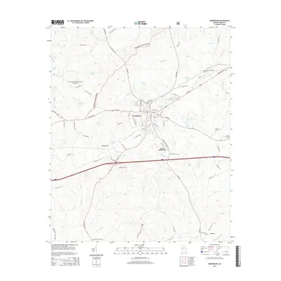
2014 Map of Greensboro
USGS Topo · Published 2014About this map
Greensboro serves as the focal point of this Greene County landscape, where the intersection of W Broad St and S Main St anchors the downtown district near Greensboro City Hall. The surrounding terrain transitions from the urban street grid of the city and Darwin Subdivision into the protected timberlands of the Oconee National Forest. This 2014 survey documents a region defined by its water resources, with Lake Oconee and several smaller impoundments like Boswell Lake and Parker Lake distributed across the rolling topography. Genealogists and local historians will find several key burial sites mapped, including the Greensboro City Cem and the more remote Walker Cem and Ayers Cem. To the south and west, the smaller settlements of Thurston and Veazey appear along the road network, while the Greene County Regional Airport facilitates modern transportation north of the city center.
Find a feature on this map
86 named features on this map. Tap any name to fly to it.
Don’t see what you’re looking for? This feature index may not catch every label — zoom into the map to look around manually.
Map Details
Editions of this 2014 Greensboro Map
This is the sole edition of this map. No revisions or reprints were ever made.
Other maps of this area

1953 · Athens
USGS Topo · 1:250,000

1958 · Athens
USGS Topo · 1:250,000

1959 · Athens
USGS Topo · 1:250,000

1963 · Athens
USGS Topo · 1:250,000

1965 · Woodville
USGS Topo · 1:24,000

1965 · Union Point
USGS Topo · 1:24,000

1972 · Penfield
USGS Topo · 1:24,000

1972 · Liberty
USGS Topo · 1:24,000

1972 · Buckhead
USGS Topo · 1:24,000

1972 · Harmony
USGS Topo · 1:24,000