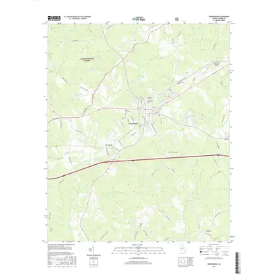
2017 Map of Greensboro
USGS Topo · Published 2017About this map
Greensboro serves as the focal point of this Greene County landscape, situated at the junction of several historic transportation corridors. The town's local history is anchored by Greensboro City Cem and the elevated terrain of Cemetery Hill. Beyond the municipal center, the land transitions into the protected acreage of the Oconee National Forest to the northwest, where the waters of Lake Oconee and Richland Cr define the topography. The map details a network of rural settlements including Thurston and Veazey, connected by historic routes like Stagecoach Rd and Old Union Point Rd. Smaller water bodies such as Lassiter Lake and Parker Lake are scattered throughout the agricultural and forested tracts. For genealogists and local historians, the placement of rural burial sites like Wesley Chapel Cem and Walker Cem alongside family-named roads provides specific spatial context for the region's 21st-century development.
Find a feature on this map
85 named features on this map. Tap any name to fly to it.
Don’t see what you’re looking for? This feature index may not catch every label — zoom into the map to look around manually.
Map Details
Editions of this 2017 Greensboro Map
This is the sole edition of this map. No revisions or reprints were ever made.
Other maps of this area

1953 · Athens
USGS Topo · 1:250,000

1958 · Athens
USGS Topo · 1:250,000

1959 · Athens
USGS Topo · 1:250,000

1963 · Athens
USGS Topo · 1:250,000

1965 · Woodville
USGS Topo · 1:24,000

1965 · Union Point
USGS Topo · 1:24,000

1972 · Penfield
USGS Topo · 1:24,000

1972 · Liberty
USGS Topo · 1:24,000

1972 · Buckhead
USGS Topo · 1:24,000

1972 · Harmony
USGS Topo · 1:24,000