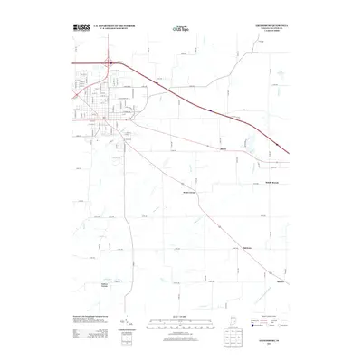
2013 Map of Greensburg
USGS Topo · Published 2013About this map
Sand Cr and its various tributaries, including Lost Fork and Cobbs Fork, define the drainage patterns of this Decatur County landscape. These waterways converge and wind south toward the Vernon Fork Muscatatuck River, which marks the southeastern boundary of the survey area. Small rural clusters and crossroads communities like Knarr Corner, McCoy, and Slabtown are interspersed between established agricultural tracts and the developing eastern fringe of Greensburg. In the eastern portion of the quadrangle, Reed Reservoir and Lake McCoy provide significant surface water features, while the southern reaches contain smaller landmarks like Morrison Pond and Tarkeo Corner. The map illustrates a transitional landscape where the rectangular grid of county roads, such as Co RD-100 and Co RD-500, meets the diagonal path of Interstate 74 and the branching network of creeks.
Find a feature on this map
96 named features on this map. Tap any name to fly to it.
Don’t see what you’re looking for? This feature index may not catch every label — zoom into the map to look around manually.
Map Details
Editions of this 2013 Greensburg Map
This is the sole edition of this map. No revisions or reprints were ever made.
Other maps of this area

1942 · Columbus
USGS Topo · 1:125,000

1946 · Osgood
USGS Topo · 1:24,000

1946 · New Point
USGS Topo · 1:24,000

1953 · Cincinnati
USGS Topo · 1:250,000

1957 · Cincinnati
USGS Topo · 1:250,000

1958 · Greensburg
USGS Topo · 1:24,000

1958 · Millhousen
USGS Topo · 1:24,000

1958 · Westport
USGS Topo · 1:24,000

1958 · Forest Hill
USGS Topo · 1:24,000

1958 · Clarksburg
USGS Topo · 1:24,000