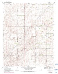
1969 Map of Greensburg NE
USGS Topo · Published 1984About this map
Rattlesnake Creek and its tributary, South Branch Rattlesnake Creek, define the drainage patterns across this rural landscape located along the Edwards and Kiowa County line. The terrain, identified in part as South Brown, reveals a mid-century shift toward industrial energy infrastructure. Multiple pipelines crisscross the area, supported by a central Compressor Station and an associated Water Tank.
Find a feature on this map
13 named features on this map. Tap any name to fly to it.
Don’t see what you’re looking for? This feature index may not catch every label — zoom into the map to look around manually.
Map Details
Editions of this 1969 Greensburg NE Map
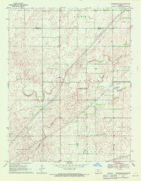
2 editions found
Other maps of this area

1889 · Kinsley
USGS Topo · 1:125,000

1892 · Kinsley
USGS Topo · 1:125,000

1894 · Kinsley
USGS Topo · 1:125,000

1955 · Pratt
USGS Topo · 1:250,000

1959 · Pratt
USGS Topo · 1:250,000

1968 · Haviland NW
USGS Topo · 1:24,000

1968 · Brenham
USGS Topo · 1:24,000

1969 · Greensburg NW
USGS Topo · 1:24,000
1969 · Greensburg
USGS Topo · 1:24,000
1969 · Mullinville
USGS Topo · 1:24,000