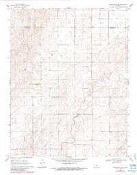
1969 Map of Greensburg NW
USGS Topo · Published 1984About this map
Rattlesnake Creek winds through the rural grasslands of South Brown in this survey of the northern reaches of Kiowa County. The landscape is characterized by a sparse settlement pattern dominated by the industrial extraction of the Fralick South Oil Field, where numerous sites marked Oil Well and Drill Hole are connected by a network of pipelines. A Pumping Station is situated south of the Edwards County line, indicating the infrastructure required to move resources across this portion of the High Plains. For those tracing local history, the map identifies small, isolated burial grounds including Bethel Cem and McKinley Cem, which serve as quiet markers of the region's early farming families and community centers.
Find a feature on this map
13 named features on this map. Tap any name to fly to it.
Don’t see what you’re looking for? This feature index may not catch every label — zoom into the map to look around manually.
Map Details
Editions of this 1969 Greensburg NW Map
2 editions found
Other maps of this area

1889 · Kinsley
USGS Topo · 1:125,000

1892 · Kinsley
USGS Topo · 1:125,000

1892 · Spearville
USGS Topo · 1:125,000

1894 · Spearville
USGS Topo · 1:125,000

1894 · Kinsley
USGS Topo · 1:125,000

1955 · Pratt
USGS Topo · 1:250,000

1959 · Pratt
USGS Topo · 1:250,000

1969 · Bucklin NE
USGS Topo · 1:24,000

1969 · Bucklin SE
USGS Topo · 1:24,000

1969 · Greensburg NW
USGS Topo · 1:24,000