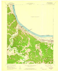
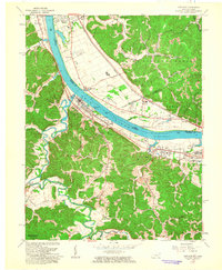
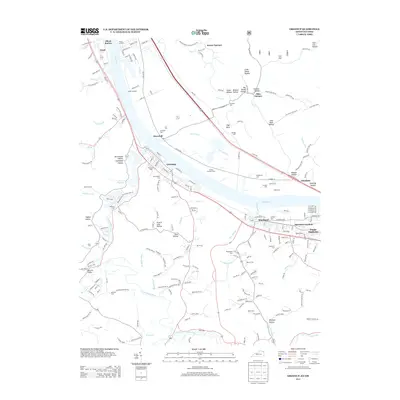
1958 Map of Greenup
USGS Topo · Published 1959About this map
The Ohio River bend dictates the local geography of northern Greenup County, where the industrial and rail corridor of the Chesapeake and Ohio connects a string of riverside communities. In the late 1950s, the county seat of Greenup serves as a central hub, while smaller settlements like Riverton and Wurtland flank the river banks. The interior landscape is defined by the winding course of the Little Sandy River and its numerous tributaries such as Shackle Run and Threemile Run. This era shows a rural society transitioning, where traditional landmarks like the Old Steam Sch and Johnson Chapel Sch remain as anchor points for the surrounding hills. Genealogists will find a high density of family-named burial sites, including the Womack Cem, Heaberlin Cem, and Pennington Cem, scattered across the hollows of Plum Grove Hollow and Deer Hollow.
Find a feature on this map
55 named features on this map. Tap any name to fly to it.
Don’t see what you’re looking for? This feature index may not catch every label — zoom into the map to look around manually.
Map Details
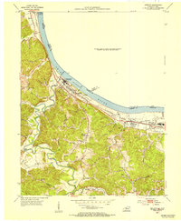
Editions of this 1958 Greenup Map
This is the sole edition of this map. No revisions or reprints were ever made.
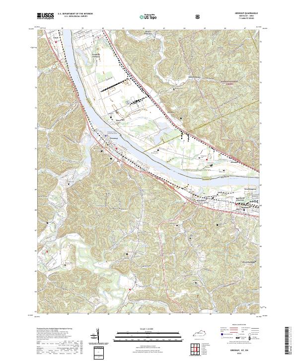
Historical Maps of Flatwoods Through Time
12 maps found
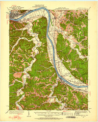
1926 Greenup
Greenup County, KY
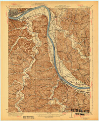
1930 Greenup
Greenup County, KY
1953 Greenup
Greenup County, KY
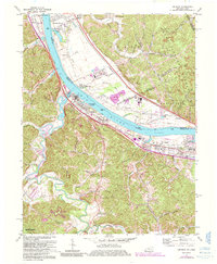
1958 Greenup
Greenup County, KY
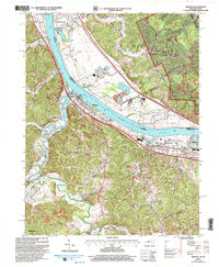
1961 Greenup
Greenup County, KY
1972 Greenup
Greenup County, KY
2002 Greenup
Greenup County, KY
2011 Greenup
Greenup County, KY
2013 Greenup
Greenup County, KY
2016 Greenup
Greenup County, KY
2019 Greenup
Greenup County, KY
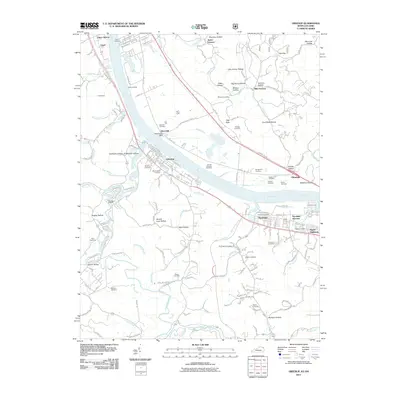
2022 Greenup
Greenup County, KY