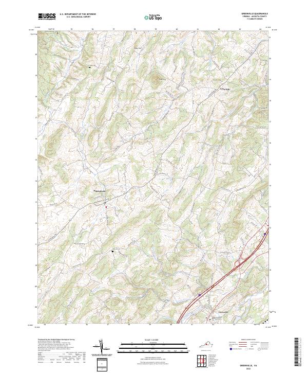
2022 Map of Greenville
USGS Topo · Published 2022About this map
Greenville and Middlebrook anchor this portion of Augusta County, where the Shenandoah Valley's undulating terrain transitions into the high ridges of the Blue Ridge. The landscape is defined by a dense network of watercourses, including the north-flowing South River and Middle River, which historically dictated the placement of early settlements and mills. Rural lifelines like Middlebrook Rd and Howardsville Rd connect disparate farmsteads and old burial grounds, such as Glebe Cem and Oak Hill Cem. The presence of the Greenville United Methodist Church near the intersection of major transit corridors illustrates the village's role as a local social and spiritual hub. This topography, marked by prominent rises like Sugarloaf and Stony Hill, reveals how the geology of the valley shaped both its agricultural potential and the winding paths of its earliest thoroughfares.
Find a feature on this map
75 named features on this map. Tap any name to fly to it.
Don’t see what you’re looking for? This feature index may not catch every label — zoom into the map to look around manually.
Map Details
Editions of this 2022 Greenville Map
This is the sole edition of this map. No revisions or reprints were ever made.
Other maps of this area

1894 · Staunton
USGS Topo · 1:125,000

1894 · Lexington
USGS Topo · 1:125,000

1932 · Lexington
USGS Topo · 1:48,000

1936 · Vesuvius
USGS Topo · 1:48,000

1937 · Lexington
USGS Topo · 1:62,500

1941 · Vesuvius
USGS Topo · 1:62,500

1943 · Craigsville
USGS Topo · 1:62,500

1944 · Staunton
USGS Topo · 1:62,500

1945 · Craigsville
USGS Topo · 1:62,500

1947 · Staunton
USGS Topo · 1:62,500