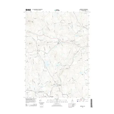
2015 Map of Greenville
USGS Topo · Published 2015About this map
The Souhegan River carves through this corner of Hillsborough County, anchoring the town of Greenville and its surrounding mill-era infrastructure. The landscape is defined by its water management history, with numerous impoundments such as the Mill Brook Reservoir, Greenville Reservoir, and the Old Wilton Reservoir that speak to the region's industrial and municipal development. To the northwest, the terrain rises sharply into the Wapack Range, dominated by the heights of Pack Monadnock Mtn and Whitcomb Peak, offering a stark contrast to the settled valleys below.
Find a feature on this map
140 named features on this map. Tap any name to fly to it.
Don’t see what you’re looking for? This feature index may not catch every label — zoom into the map to look around manually.
Map Details
Editions of this 2015 Greenville Map
This is the sole edition of this map. No revisions or reprints were ever made.
Other maps of this area

1887 · Fitchburg
USGS Topo · 1:62,500

1889 · Fitchburg
USGS Topo · 1:62,500

1893 · Fitchburg
USGS Topo · 1:62,500

1893 · Groton
USGS Topo · 1:62,500

1900 · Peterboro
USGS Topo · 1:62,500

1906 · Milford
USGS Topo · 1:62,500

1931 · Groton
USGS Topo · 1:48,000

1931 · Fitchburg
USGS Topo · 1:48,000

1935 · Groton
USGS Topo · 1:62,500

1935 · Fitchburg
USGS Topo · 1:62,500