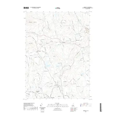
2021 Map of Greenville
USGS Topo · Published 2021About this map
The Souhegan River carves a central path through this Hillsborough County landscape, anchoring the industrial and residential history of Greenville and the surrounding villages. To the north, the terrain rises toward the Wapack Range and the prominent Pack Monadnock Mtn, where numerous hiking and snowmobile trails like the Railroad Trl and Toe Nail Trl weave through the forest. The map reveals a dense network of 18th and 19th-century burial sites, including the Old Village Burial Ground in Temple and the Vale End Cem near Wilton Center, which serve as vital touchstones for genealogical research in the Monadnock region.
Find a feature on this map
153 named features on this map. Tap any name to fly to it.
Don’t see what you’re looking for? This feature index may not catch every label — zoom into the map to look around manually.
Map Details
Editions of this 2021 Greenville Map
This is the sole edition of this map. No revisions or reprints were ever made.
Other maps of this area

1887 · Fitchburg
USGS Topo · 1:62,500

1889 · Fitchburg
USGS Topo · 1:62,500

1893 · Fitchburg
USGS Topo · 1:62,500

1893 · Groton
USGS Topo · 1:62,500

1900 · Peterboro
USGS Topo · 1:62,500

1906 · Milford
USGS Topo · 1:62,500

1931 · Groton
USGS Topo · 1:48,000

1931 · Fitchburg
USGS Topo · 1:48,000

1935 · Groton
USGS Topo · 1:62,500

1935 · Fitchburg
USGS Topo · 1:62,500