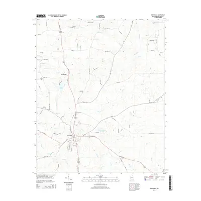
2014 Map of Greenville
USGS Topo · Published 2014About this map
Greenville serves as the focal point of this Meriwether County landscape, where the intersection of several regional routes, including the Roosevelt Hwy and GA-109, anchors the local community. The map reveals a high density of rural burial grounds such as Blount Peavy Cem, Blount Cem, and Fellowship Cem, which provide significant value for genealogical research and locating historical family plots. Beyond the town center, smaller settlements like Allie and Woodcraft are surrounded by a complex network of creeks, including Sandy Cr and Mill Cr. The presence of Perkerson-Veterans Club Lake and American Legion Lake suggests established local recreational sites. This survey documents the modern layout of the county seat while preserving the names of the water bodies and rural churches that have defined the area for generations.
Find a feature on this map
93 named features on this map. Tap any name to fly to it.
Don’t see what you’re looking for? This feature index may not catch every label — zoom into the map to look around manually.
Map Details
Editions of this 2014 Greenville Map
This is the sole edition of this map. No revisions or reprints were ever made.
Other maps of this area

1907 · Talbotton
USGS Topo · 1:125,000

1934 · Warm Springs
USGS Topo · 1:62,500

1936 · Warm Springs
USGS Topo · 1:62,500

1953 · Atlanta
USGS Topo · 1:250,000

1955 · Phenix City
USGS Topo · 1:250,000

1957 · Phenix City
USGS Topo · 1:250,000

1957 · Atlanta
USGS Topo · 1:250,000

1958 · Phenix City
USGS Topo · 1:250,000

1958 · Atlanta
USGS Topo · 1:250,000

1964 · Grantville
USGS Topo · 1:24,000