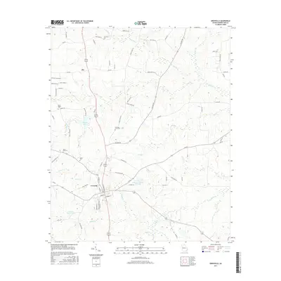
2017 Map of Greenville
USGS Topo · Published 2017About this map
Greenville serves as the central hub of this Meriwether County landscape, where modern road networks intersect near the established town center. To the north, the small settlement of Allie sits along a north-south corridor, surrounded by a dense network of creek systems including Red Oak Cr and Parks Cr. The map is particularly notable for its concentration of historic burial sites, such as Mount Pilgrim Cem and Greenville Church Cem, which are scattered among the ridges and drainage basins. Local social and civic geography is reflected in named landmarks like American Legion Lake and Perkerson-Veterans Club Lake. The terrain is deeply etched by numerous waterways, with Little Cr and Walnut Cr branching across the lower sections, illustrating the rural character and the environmental factors that shaped the area's development and land use patterns.
Find a feature on this map
82 named features on this map. Tap any name to fly to it.
Don’t see what you’re looking for? This feature index may not catch every label — zoom into the map to look around manually.
Map Details
Editions of this 2017 Greenville Map
This is the sole edition of this map. No revisions or reprints were ever made.
Other maps of this area

1907 · Talbotton
USGS Topo · 1:125,000

1934 · Warm Springs
USGS Topo · 1:62,500

1936 · Warm Springs
USGS Topo · 1:62,500

1953 · Atlanta
USGS Topo · 1:250,000

1955 · Phenix City
USGS Topo · 1:250,000

1957 · Phenix City
USGS Topo · 1:250,000

1957 · Atlanta
USGS Topo · 1:250,000

1958 · Phenix City
USGS Topo · 1:250,000

1958 · Atlanta
USGS Topo · 1:250,000

1964 · Grantville
USGS Topo · 1:24,000