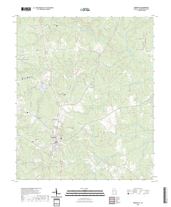
2024 Map of Greenville
USGS Topo · Published 2024About this map
The Meriwether County Courthouse stands as the central landmark of Greenville, anchored by a network of local roads that fan out into the surrounding Georgia countryside. This landscape is defined by its numerous family and community burial grounds, including the Greenville City Cem, Greenville Presbyterian Church Cem, and the Blount Peavy Cem. These sites, along with the Mount Pilgrim Baptist Church Cem, provide significant touchpoints for genealogical research in the region.
Find a feature on this map
88 named features on this map. Tap any name to fly to it.
Don’t see what you’re looking for? This feature index may not catch every label — zoom into the map to look around manually.
Map Details
Editions of this 2024 Greenville Map
This is the sole edition of this map. No revisions or reprints were ever made.
Other maps of this area

1907 · Talbotton
USGS Topo · 1:125,000

1934 · Warm Springs
USGS Topo · 1:62,500

1936 · Warm Springs
USGS Topo · 1:62,500

1953 · Atlanta
USGS Topo · 1:250,000

1955 · Phenix City
USGS Topo · 1:250,000

1957 · Phenix City
USGS Topo · 1:250,000

1957 · Atlanta
USGS Topo · 1:250,000

1958 · Phenix City
USGS Topo · 1:250,000

1958 · Atlanta
USGS Topo · 1:250,000

1964 · Grantville
USGS Topo · 1:24,000