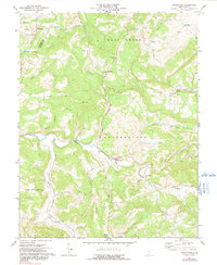
1971 Map of Greenville
USGS Topo · Published 1991About this map
Greenville sits along the winding course of Indian Creek in the Appalachian highlands of Monroe County during the early 1970s. This survey documents a deeply rural landscape of dispersed mountain settlements and crossroads communities connected by winding ridges and narrow creek bottoms. The social fabric of the era is evident in the numerous country churches and burial grounds scattered throughout the hills, including Wayside Ch, Mt Alexander Ch, and Springfield Ch.
Find a feature on this map
41 named features on this map. Tap any name to fly to it.
Don’t see what you’re looking for? This feature index may not catch every label — zoom into the map to look around manually.
Map Details
Editions of this 1971 Greenville Map
2 editions found
Other maps of this area

1887 · Hinton
USGS Topo · 1:125,000

1890 · Dublin
USGS Topo · 1:125,000

1891 · Dublin
USGS Topo · 1:125,000

1892 · Hinton
USGS Topo · 1:125,000

1912 · Big Bend
USGS Topo · 1:62,500

1913 · Peterstown
USGS Topo · 1:48,000

1914 · Big Bend
USGS Topo · 1:62,500

1916 · Peterstown
USGS Topo · 1:62,500

1921 · Alderson
USGS Topo · 1:48,000

1923 · Pearisburg
USGS Topo · 1:62,500