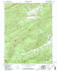
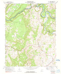
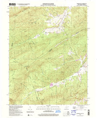
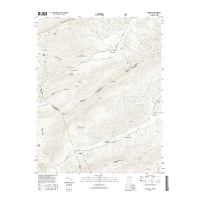
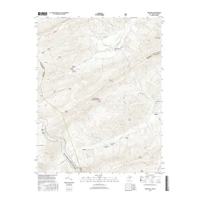
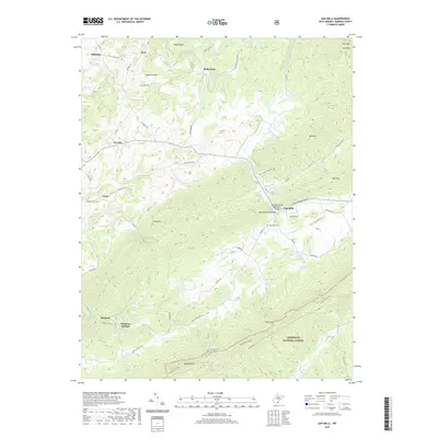
1965 Map of Waiteville
USGS Topo · Published 1986About this map
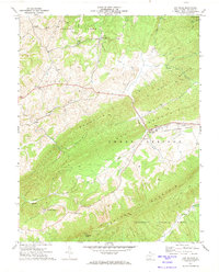
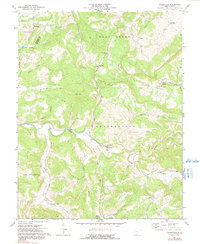
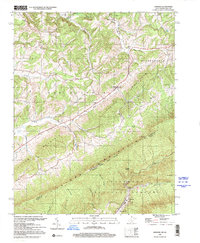
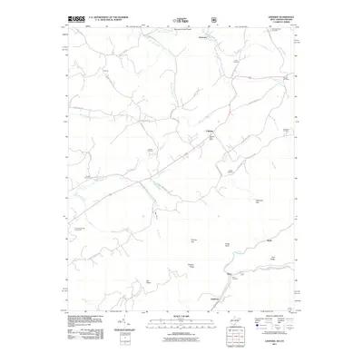
Sweet Springs Valley serves as the primary corridor for settlement and industry along the West Virginia and Virginia border during the mid-1960s. The village of Waiteville is the central hub, supported by the former infrastructure of an Old Railroad Grade and Ray Siding, reflecting the area's timber and transit history. To the south, the landscape is defined by the high ridges of Peters Mountain and Potts Mountain, which contain large portions of the Jefferson National Forest.
Find a feature on this map
67 named features on this map. Tap any name to fly to it.
Don’t see what you’re looking for? This feature index may not catch every label — zoom into the map to look around manually.
Map Details
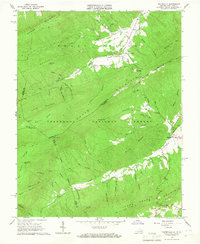
Editions of this 1965 Waiteville Map
2 editions found
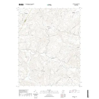
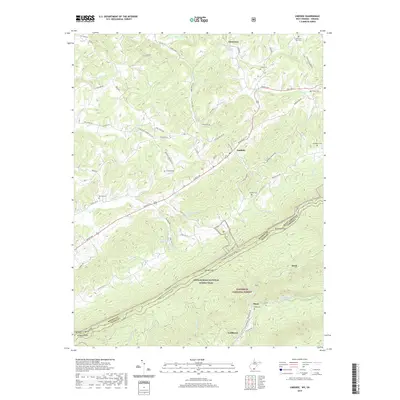
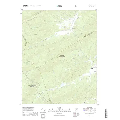
Historical Maps of Captain Through Time
33 maps found
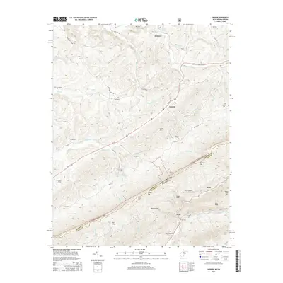
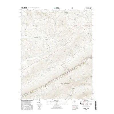
1965 Lindside
Monroe County, WV
1965 Waiteville
Monroe County, WV
1966 Paint Bank
Monroe County, WV
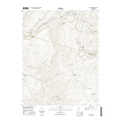
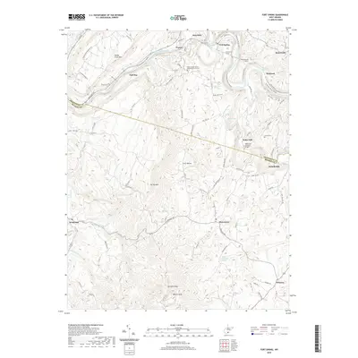
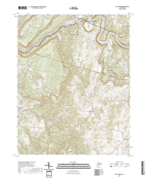
1971 Fort Spring
Monroe County, WV
1971 Gap Mills
Monroe County, WV
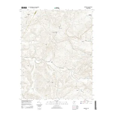
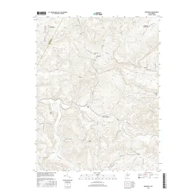
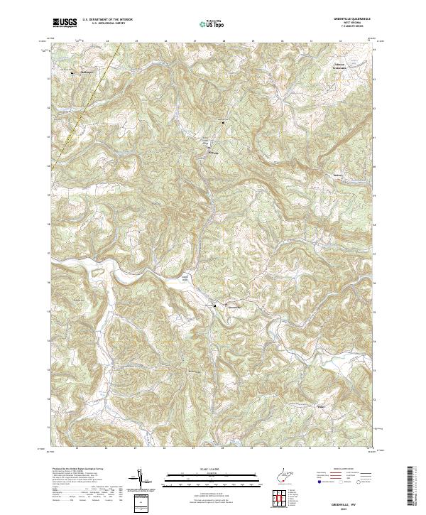
1971 Greenville
Monroe County, WV
1998 Lindside
Monroe County, WV
1998 Waiteville
Monroe County, WV
2011 Fort Spring
Monroe County, WV
2011 Gap Mills
Monroe County, WV
2011 Greenville
Monroe County, WV
2011 Lindside
Monroe County, WV
2011 Waiteville
Monroe County, WV
2014 Fort Spring
Monroe County, WV
2014 Gap Mills
Monroe County, WV
2014 Greenville
Monroe County, WV
2014 Lindside
Monroe County, WV
2014 Waiteville
Monroe County, WV
2016 Fort Spring
Monroe County, WV

2016 Gap Mills
Monroe County, WV
2016 Greenville
Monroe County, WV
2016 Lindside
Monroe County, WV
2016 Waiteville
Monroe County, WV
2019 Fort Spring
Monroe County, WV
2019 Gap Mills
Monroe County, WV
2019 Greenville
Monroe County, WV
2019 Lindside
Monroe County, WV
2019 Waiteville
Monroe County, WV
2023 Fort Spring
Monroe County, WV

2023 Gap Mills
Monroe County, WV
2023 Greenville
Monroe County, WV
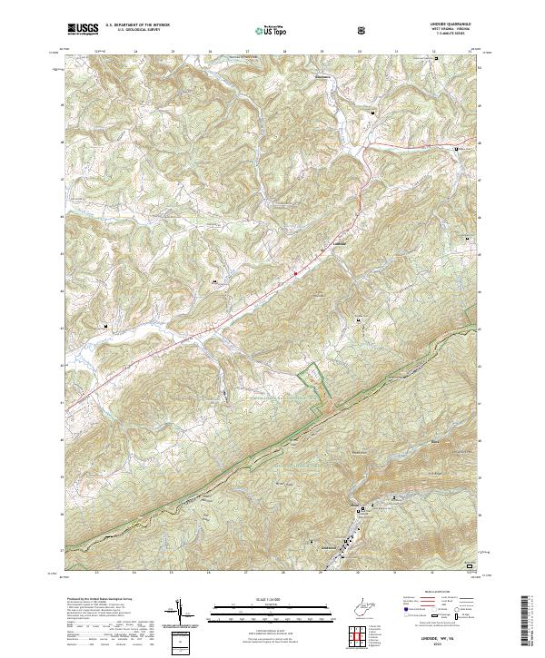
2023 Lindside
Monroe County, WV
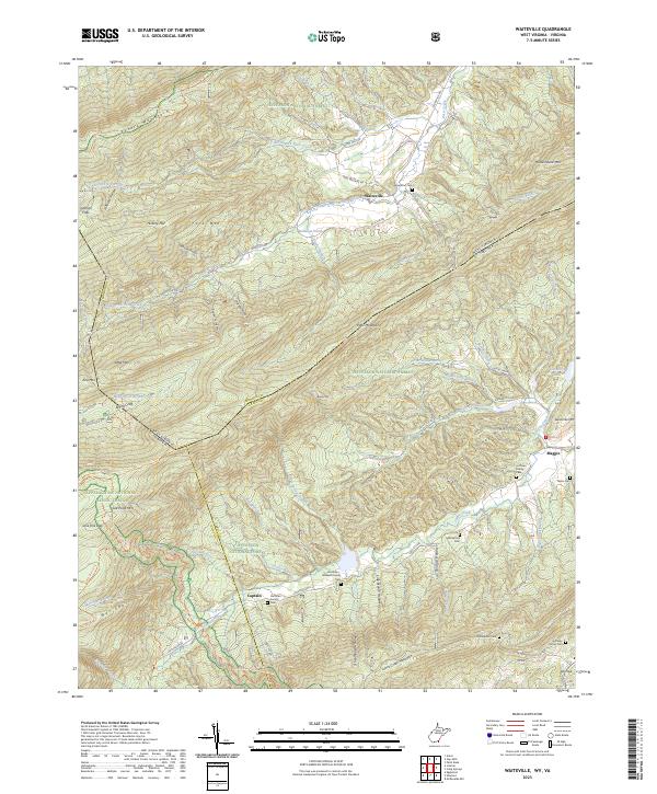
2023 Waiteville
Monroe County, WV