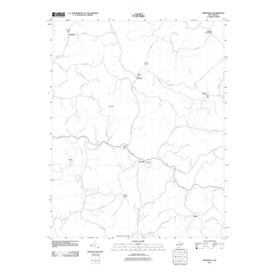
2011 Map of Greenville
USGS Topo · Published 2011About this map
Greenville sits at the heart of this landscape where Cooks Run and Indian Creek converge, serving as a focal point for a series of rural ridges and hollows in Monroe County. The map reveals a community structure tied to early mail routes, evidenced by the distribution of several local mail hubs including the Greenville Post Office, Wayside Post Office, Ballengee Post Office, and Sarton Post Office. These small settlements are linked by a network of winding roads like Wayside Talcott Rd and Sarton Rd that navigate the varied elevations of War Ridge and Ellison Ridge.
Find a feature on this map
56 named features on this map. Tap any name to fly to it.
Don’t see what you’re looking for? This feature index may not catch every label — zoom into the map to look around manually.
Map Details
Editions of this 2011 Greenville Map
This is the sole edition of this map. No revisions or reprints were ever made.
Other maps of this area

1887 · Hinton
USGS Topo · 1:125,000

1890 · Dublin
USGS Topo · 1:125,000

1891 · Dublin
USGS Topo · 1:125,000

1892 · Hinton
USGS Topo · 1:125,000

1912 · Big Bend
USGS Topo · 1:62,500

1913 · Peterstown
USGS Topo · 1:48,000

1914 · Big Bend
USGS Topo · 1:62,500

1916 · Peterstown
USGS Topo · 1:62,500

1921 · Alderson
USGS Topo · 1:48,000

1923 · Pearisburg
USGS Topo · 1:62,500