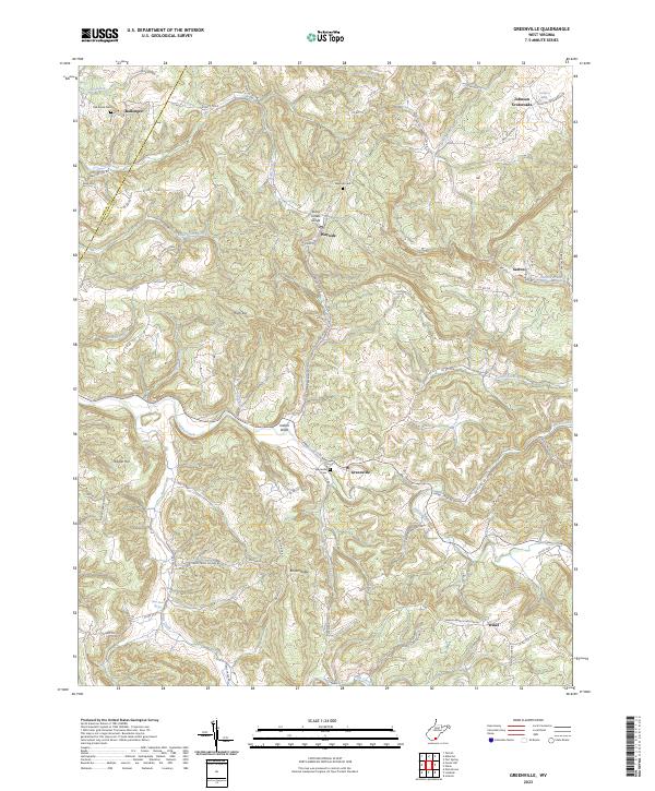
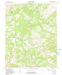
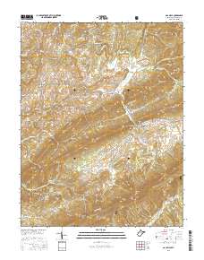
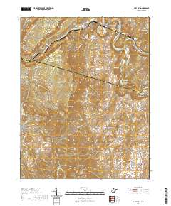
2023 Map of Greenville
USGS Topo · Published 2023About this map
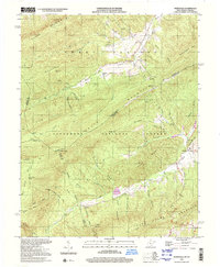
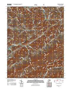
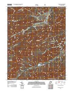
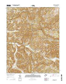
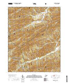
Greenville and the surrounding drainage of Indian Creek define this landscape on the border of Summers and Monroe Counties. The map reveals a deeply etched topography where water sources like Stony Creek and Hans Creek have carved distinct paths, most notably at the Stony Creek Gorge near Wayside. This area is characterized by a network of rural settlements and named ridges, including Ellison Ridge and Kibble Hill, which are connected by a web of local routes such as Wayside Talcott Rd and Hans Creek Ellison Rd.
Find a feature on this map
85 named features on this map. Tap any name to fly to it.
Don’t see what you’re looking for? This feature index may not catch every label — zoom into the map to look around manually.
Map Details
Editions of this 2023 Greenville Map
This is the sole edition of this map. No revisions or reprints were ever made.
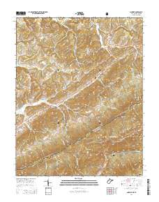
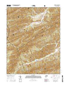
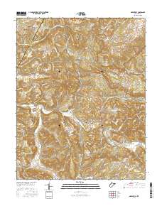
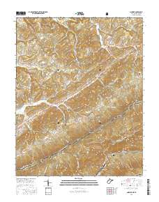
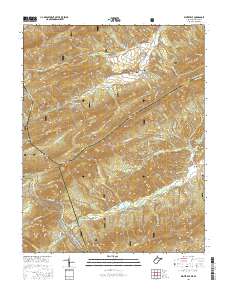
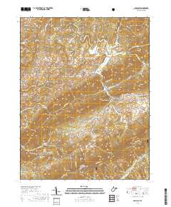
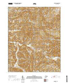
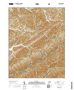
Historical Maps of Greenville Through Time
33 maps found
1965 Lindside
Monroe County, WV
1965 Waiteville
Monroe County, WV
1966 Paint Bank
Monroe County, WV
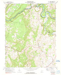
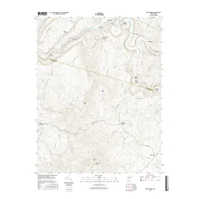
1971 Fort Spring
Monroe County, WV
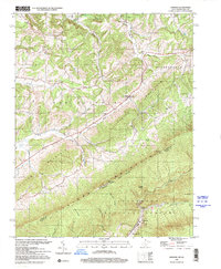
1971 Gap Mills
Monroe County, WV
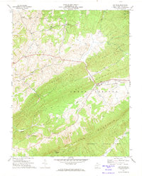
1971 Greenville
Monroe County, WV
1998 Lindside
Monroe County, WV
1998 Waiteville
Monroe County, WV
2011 Fort Spring
Monroe County, WV
2011 Gap Mills
Monroe County, WV
2011 Greenville
Monroe County, WV
2011 Lindside
Monroe County, WV
2011 Waiteville
Monroe County, WV
2014 Fort Spring
Monroe County, WV
2014 Gap Mills
Monroe County, WV
2014 Greenville
Monroe County, WV
2014 Lindside
Monroe County, WV
2014 Waiteville
Monroe County, WV
2016 Fort Spring
Monroe County, WV
2016 Gap Mills
Monroe County, WV
2016 Greenville
Monroe County, WV
2016 Lindside
Monroe County, WV
2016 Waiteville
Monroe County, WV
2019 Fort Spring
Monroe County, WV
2019 Gap Mills
Monroe County, WV
2019 Greenville
Monroe County, WV
2019 Lindside
Monroe County, WV
2019 Waiteville
Monroe County, WV
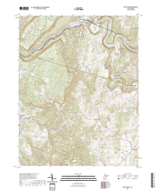
2023 Fort Spring
Monroe County, WV

2023 Gap Mills
Monroe County, WV
2023 Greenville
Monroe County, WV
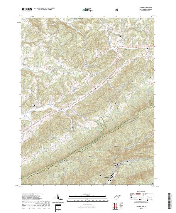
2023 Lindside
Monroe County, WV
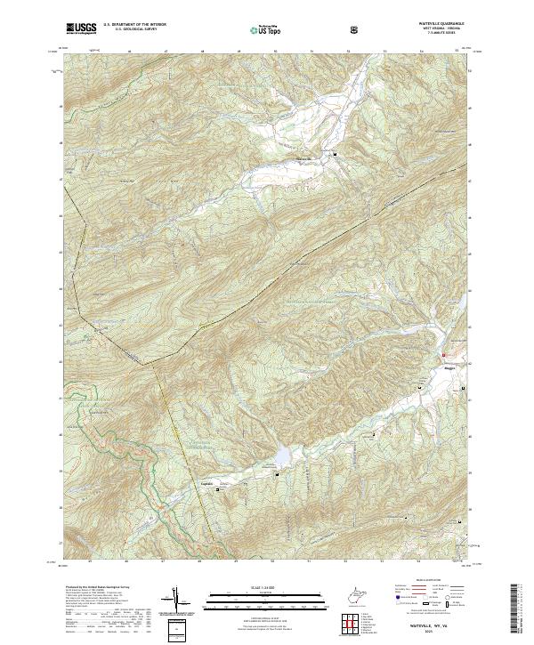
2023 Waiteville
Monroe County, WV