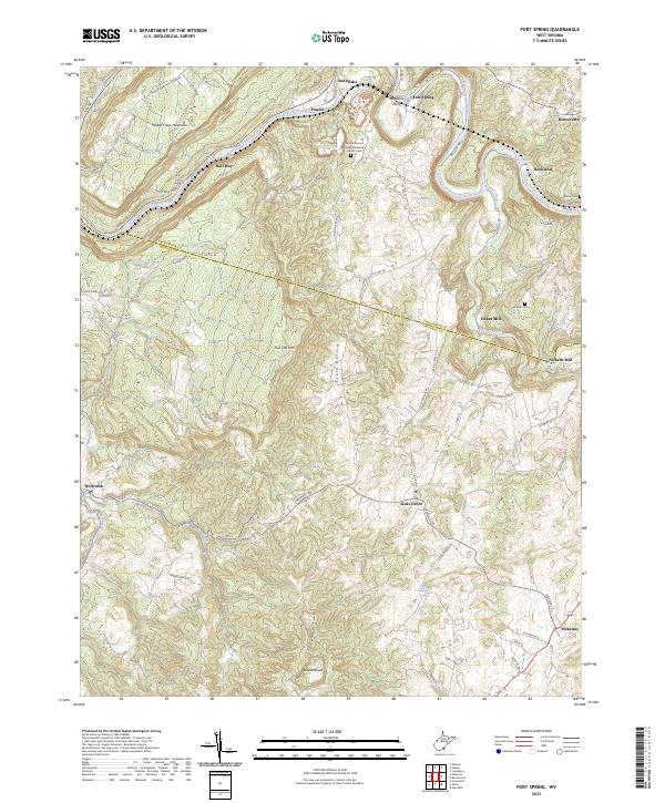
2023 Map of Fort Spring
USGS Topo · Published 2023About this map
The Greenbrier River and Second Creek carve through this landscape at the border of Greenbrier and Monroe counties, shaping a region defined by agricultural valleys and high ridges. Significant historical landmarks such as Stephens Ferry and the Mount Vernon United Methodist Church reflect the long-standing community centers of the area. Small settlements like Sinks Grove and Pickaway are connected by a network of local roads including Creamery Rd and Fort Springs Rd, while the uplands are dominated by Muddy Creek Mountain and Swoopes Knobs. Genealogists will find particular value in the documentation of family and community burial sites, including the Lincoln Cem and Ketron Cem, alongside several named mills and schools such as Nickells Mill and the Curry School.
Find a feature on this map
88 named features on this map. Tap any name to fly to it.
Don’t see what you’re looking for? This feature index may not catch every label — zoom into the map to look around manually.
Map Details
Editions of this 2023 Fort Spring Map
This is the sole edition of this map. No revisions or reprints were ever made.
Other maps of this area

1887 · Hinton
USGS Topo · 1:125,000

1887 · Lewisburg
USGS Topo · 1:125,000

1891 · Lewisburg
USGS Topo · 1:125,000

1892 · Hinton
USGS Topo · 1:125,000

1921 · Alderson
USGS Topo · 1:48,000

1921 · White Sulphur Springs
USGS Topo · 1:48,000

1921 · Clintonville
USGS Topo · 1:48,000

1921 · Ronceverte
USGS Topo · 1:48,000

1923 · Clintonville
USGS Topo · 1:62,500

1923 · White Sulphur Springs
USGS Topo · 1:62,500