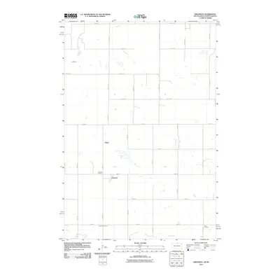
2011 Map of Greenway
USGS Topo · Published 2011About this map
Greenway sits at a rural crossroads in northern McPherson County, reflecting the organized grid of the Great Plains. This 2011 survey illustrates the sparse, agrarian layout of the region, where the small settlement of Madra and the primary town of Greenway serve as the focal points for the surrounding sections. The landscape is defined by the gentle drainage of Spring Creek to the south and the small reservoir at Jund Dam in the northwest corner. Genealogists will find particular value in the documentation of local family and community burial sites, including the Greenway Cemetery near the town center, and the outlying Brenneise Cemetery and Wolff Cemetery. These sites, situated along roads like 104th St and 323rd Ave, provide a clear view of the area's settlement patterns and family heritage at the start of the 21st century.
Find a feature on this map
28 named features on this map. Tap any name to fly to it.
Don’t see what you’re looking for? This feature index may not catch every label — zoom into the map to look around manually.
Map Details
Editions of this 2011 Greenway Map
This is the sole edition of this map. No revisions or reprints were ever made.
Other maps of this area

1953 · Jamestown
USGS Topo · 1:250,000

1954 · Aberdeen
USGS Topo · 1:250,000

1956 · Aberdeen
USGS Topo · 1:250,000

1956 · Jamestown
USGS Topo · 1:250,000

1978 · Greenway
USGS Topo · 1:24,000

1978 · Zeeland
USGS Topo · 1:24,000

1978 · Eureka West
USGS Topo · 1:24,000

1978 · Venturia
USGS Topo · 1:24,000

1978 · Eureka East
USGS Topo · 1:24,000

1978 · Mutske Lake
USGS Topo · 1:24,000