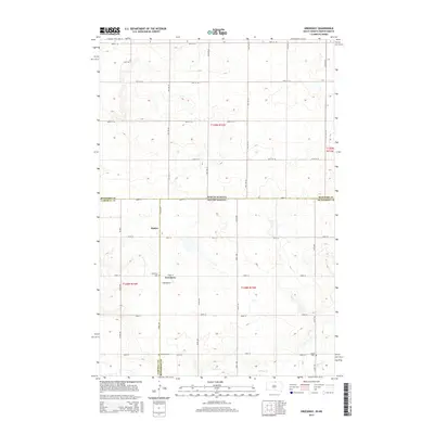
2015 Map of Greenway
USGS Topo · Published 2015About this map
Greenway and Madra sit at the intersection of rural life and the state line in this 2015 study of the borderlands between North and South Dakota. The landscape is defined by the survey grid and the undulating drainage of Spring Cr, which flows through the southern portion of the quadrangle. Genealogists will find significant value in the documentation of local family history through three distinct burial grounds: Greenway Cem, Brenneise Cem, and Wolff Cem. The map illustrates the administrative complexity of the region, where Campbell Co, McPherson Co, and McIntosh Co converge at the state boundary. This document captures the transition between the agricultural sections of South Dakota and the open stretches of North Dakota just before the modern era of landscape change.
Find a feature on this map
35 named features on this map. Tap any name to fly to it.
Don’t see what you’re looking for? This feature index may not catch every label — zoom into the map to look around manually.
Map Details
Editions of this 2015 Greenway Map
This is the sole edition of this map. No revisions or reprints were ever made.
Other maps of this area
1953 · Jamestown
USGS Topo · 1:250,000
1954 · Aberdeen
USGS Topo · 1:250,000
1956 · Aberdeen
USGS Topo · 1:250,000
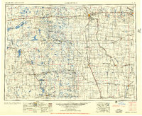
1956 · Jamestown
USGS Topo · 1:250,000
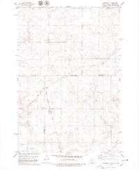
1978 · Greenway
USGS Topo · 1:24,000
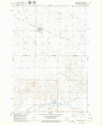
1978 · Zeeland
USGS Topo · 1:24,000
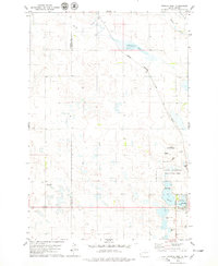
1978 · Eureka West
USGS Topo · 1:24,000
1978 · Venturia
USGS Topo · 1:24,000
1978 · Eureka East
USGS Topo · 1:24,000
1978 · Mutske Lake
USGS Topo · 1:24,000