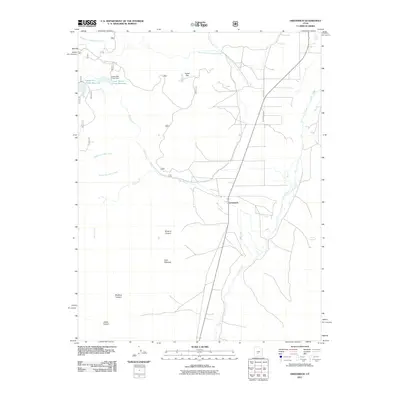
2011 Map of Greenwich
USGS Topo · Published 2011About this map
Greenwich serves as the central hub of this Piute County landscape, situated where the valley floor meets a complex network of canyons and watercourses. The area's agricultural and water management history is anchored by the Koosharem Canal and the critical storage provided by the Lower Box Creek Reservoir and Upper Box Creek Reservoir to the northwest. These engineering features, including the Lower Box Creek Dam, illustrate the vital role of irrigation in sustaining local life.
Find a feature on this map
20 named features on this map. Tap any name to fly to it.
Don’t see what you’re looking for? This feature index may not catch every label — zoom into the map to look around manually.
Map Details
Editions of this 2011 Greenwich Map
This is the sole edition of this map. No revisions or reprints were ever made.
Other maps of this area

1885 · Beaver
USGS Topo · 1:250,000

1885 · Fish Lake
USGS Topo · 1:250,000

1896 · Fish Lake
USGS Topo · 1:250,000

1940 · Monroe
USGS Topo · 1:62,500

1944 · Monroe
USGS Topo · 1:62,500

1945 · Marysvale
USGS Topo · 1:62,500

1947 · Marysvale
USGS Topo · 1:62,500

1953 · Richfield
USGS Topo · 1:250,000

1956 · Salina
USGS Topo · 1:250,000

1958 · Richfield
USGS Topo · 1:250,000