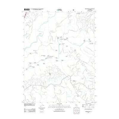
2012 Map of Greenwood
USGS Topo · Published 2012About this map
The Middle Fork American River and N Fork American River converge in this section of El Dorado County, defining a landscape of deep canyons and historic river bars. Gold Rush era place names are still prominent along the riverbanks, including Cherokee Bar, Maine Bar, and Philadelphia Bar, reflecting the area's mining heritage. The settlement of Greenwood serves as a central point, situated near the Greenwood Civilian Conservation Corps Camp and the winding Greenwood Cr.
Find a feature on this map
147 named features on this map. Tap any name to fly to it.
Don’t see what you’re looking for? This feature index may not catch every label — zoom into the map to look around manually.
Map Details
Editions of this 2012 Greenwood Map
This is the sole edition of this map. No revisions or reprints were ever made.
Other maps of this area

1888 · Smartsville
USGS Topo · 1:125,000

1891 · Sacramento
USGS Topo · 1:125,000

1891 · Colfax
USGS Topo · 1:125,000

1891 · Smartsville
USGS Topo · 1:125,000

1891 · Placerville
USGS Topo · 1:125,000

1892 · Sacramento
USGS Topo · 1:125,000

1892 · Placerville
USGS Topo · 1:125,000

1892 · Smartsville
USGS Topo · 1:125,000

1892 · Colfax
USGS Topo · 1:125,000

1893 · Placerville
USGS Topo · 1:125,000