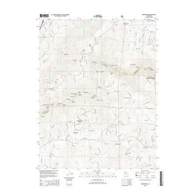
2015 Map of Greenwood
USGS Topo · Published 2015About this map
Greenwood sits atop the Sierra Nevada foothills on this 2015 survey, serving as a hub for the surrounding ridge and canyon landscape. The terrain is defined by the deep incisions of the North Fork American River and the Middle Fork American River, which meet at a dramatic confluence. Along these waterways, historical mining and river activity is evident through labels such as Oregon Bar, Cherokee Bar, and Maine Bar. The presence of the Sliger Mine south of French Hill points to the area's enduring mineral history within the Eldorado National Forest.
Find a feature on this map
152 named features on this map. Tap any name to fly to it.
Don’t see what you’re looking for? This feature index may not catch every label — zoom into the map to look around manually.
Map Details
Editions of this 2015 Greenwood Map
This is the sole edition of this map. No revisions or reprints were ever made.
Other maps of this area

1888 · Smartsville
USGS Topo · 1:125,000

1891 · Sacramento
USGS Topo · 1:125,000

1891 · Colfax
USGS Topo · 1:125,000

1891 · Smartsville
USGS Topo · 1:125,000

1891 · Placerville
USGS Topo · 1:125,000

1892 · Sacramento
USGS Topo · 1:125,000

1892 · Placerville
USGS Topo · 1:125,000

1892 · Smartsville
USGS Topo · 1:125,000

1892 · Colfax
USGS Topo · 1:125,000

1893 · Placerville
USGS Topo · 1:125,000