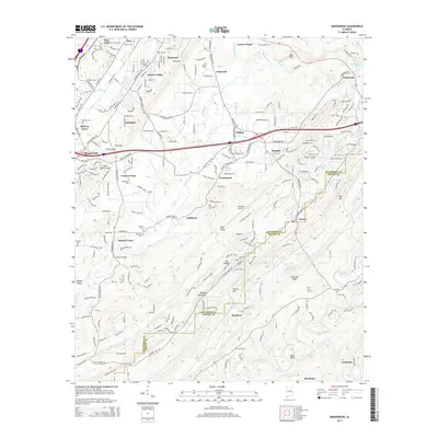
2014 Map of Greenwood
USGS Topo · Published 2014About this map
Shades Mountain and Bluff Ridge dominate this section of the Alabama landscape, where the ridges of the Appalachian foothills meet expanding residential developments. The area is defined by its numerous named settlements, including Greenwood, Morgan, and Hopewell, which are interspersed with deep-rooted community markers like Sadlers Cem and McClendon Chapel. The presence of the Bessemer Airport and the winding Cahaba River to the southeast illustrate the mix of modern infrastructure and natural waterways. This 2014 survey captures a period of transition as the suburbs of Hoover and Bessemer push further into the valleys. Local historians can trace the proximity of older sites like Smithson and Raimund to newer recreational and residential features such as Guytons Lake and Lake Cyrus Boulevard.
Find a feature on this map
232 named features on this map. Tap any name to fly to it.
Don’t see what you’re looking for? This feature index may not catch every label — zoom into the map to look around manually.
Map Details
Editions of this 2014 Greenwood Map
This is the sole edition of this map. No revisions or reprints were ever made.
Other maps of this area

1890 · Bessemer
USGS Topo · 1:125,000

1892 · Bessemer
USGS Topo · 1:125,000

1899 · Brookwood
USGS Topo · 1:125,000

1905 · Bessemer Iron District
USGS Topo · 1:62,500

1907 · Bessemer Special
USGS Topo · 1:62,500

1910 · Montevallo
USGS Topo · 1:62,500

1927 · Adger
USGS Topo · 1:48,000

1932 · Yolande
USGS Topo · 1:62,500

1934 · Blocton
USGS Topo · 1:48,000

1935 · Yolande
USGS Topo · 1:62,500