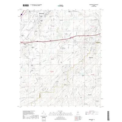
2018 Map of Greenwood
USGS Topo · Published 2018About this map
Bessemer and Hoover anchor this modern landscape, where urban expansion meets the ridge-and-valley terrain of the Jefferson Co Shelby Co line. In the southern portion, the Cahaba River winds through Mossboro and Helena, while the industrial legacy of the region is evidenced by smaller settlements like Raimund and Bamford. The map serves as a vital record for genealogists, preserving the locations of numerous family and community burial grounds including Sadlers Cem, Shiloh Cem, and George Cem. Notable topographic landmarks such as Shades Mountain, Bluff Ridge, and Bee Mtn shape the residential and commercial corridors, including the path of I-459 as it cuts through Morgan and Greenwood. The juxtaposition of established neighborhoods like Shady Brook with the operational Bessemer Airport provides a clear view of the area's contemporary development pattern.
Find a feature on this map
67 named features on this map. Tap any name to fly to it.
Don’t see what you’re looking for? This feature index may not catch every label — zoom into the map to look around manually.
Map Details
Editions of this 2018 Greenwood Map
This is the sole edition of this map. No revisions or reprints were ever made.
Other maps of this area

1890 · Bessemer
USGS Topo · 1:125,000

1892 · Bessemer
USGS Topo · 1:125,000

1899 · Brookwood
USGS Topo · 1:125,000

1905 · Bessemer Iron District
USGS Topo · 1:62,500

1907 · Bessemer Special
USGS Topo · 1:62,500

1910 · Montevallo
USGS Topo · 1:62,500

1927 · Adger
USGS Topo · 1:48,000

1932 · Yolande
USGS Topo · 1:62,500

1934 · Blocton
USGS Topo · 1:48,000

1935 · Yolande
USGS Topo · 1:62,500