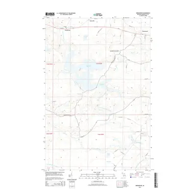
2014 Map of Greenwood
USGS Topo · Published 2014About this map
Clarksburg and Greenwood anchor the northern reaches of this Marquette County landscape, connected by the corridor of Us-41. The topography is defined by the complex water systems of the Upper Peninsula, most notably the sprawling Greenwood Reservoir and the multiple branches of the Middle Br Escanaba River. Small settlements such as Snowville and South Greenwood are situated among a network of county roads, including Diorite Rd and Co Road 496. For those researching local heritage, the Clarksburg Cem is a primary landmark near the northern boundary. The southern portion of the map is dominated by the course of the Black River, which culminates in the notable Black River Falls near the shores of Island Lake and Lake Unky.
Find a feature on this map
56 named features on this map. Tap any name to fly to it.
Don’t see what you’re looking for? This feature index may not catch every label — zoom into the map to look around manually.
Map Details
Editions of this 2014 Greenwood Map
This is the sole edition of this map. No revisions or reprints were ever made.
Other maps of this area

1952 · Ishpeming
USGS Topo · 1:62,500

1952 · Ishpeming
USGS Topo · 1:24,000

1954 · Negaunee SW
USGS Topo · 1:24,000

1954 · Negaunee
USGS Topo · 1:62,500

1955 · Champion
USGS Topo · 1:24,000

1955 · Diorite
USGS Topo · 1:24,000

1955 · Greenwood
USGS Topo · 1:24,000

1955 · Republic
USGS Topo · 1:62,500

1955 · Republic
USGS Topo · 1:24,000

1955 · Republic SW
USGS Topo · 1:24,000