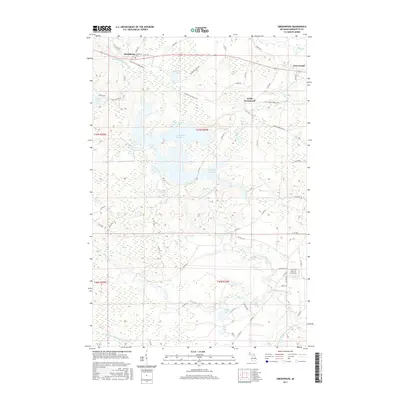
2017 Map of Greenwood
USGS Topo · Published 2017About this map
Clarksburg and Greenwood anchor the northern corridor of this Marquette County landscape, where the Iron Ore Heritage Trail follows the path of former industrial rail lines. The northern section is dominated by the historic Clarksburg Cem and the small settlements of South Greenwood, reflecting a pattern of habitation closely tied to the region’s mining and timber legacy. To the south, the terrain becomes defined by complex water systems, notably the expansive Greenwood Reservoir and the Middle Branch Escanaba River which winds through the central and southern portions.
Find a feature on this map
65 named features on this map. Tap any name to fly to it.
Don’t see what you’re looking for? This feature index may not catch every label — zoom into the map to look around manually.
Map Details
Editions of this 2017 Greenwood Map
This is the sole edition of this map. No revisions or reprints were ever made.
Other maps of this area

1952 · Ishpeming
USGS Topo · 1:62,500

1952 · Ishpeming
USGS Topo · 1:24,000

1954 · Negaunee SW
USGS Topo · 1:24,000

1954 · Negaunee
USGS Topo · 1:62,500

1955 · Champion
USGS Topo · 1:24,000

1955 · Diorite
USGS Topo · 1:24,000

1955 · Greenwood
USGS Topo · 1:24,000

1955 · Republic
USGS Topo · 1:62,500

1955 · Republic
USGS Topo · 1:24,000

1955 · Republic SW
USGS Topo · 1:24,000