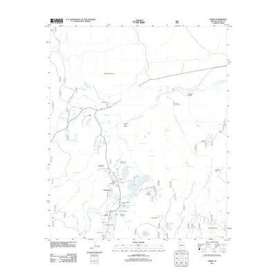
2011 Map of Greer
USGS Topo · Published 2011About this map
Greer and the adjacent settlement of Northwoods anchor this high-elevation landscape in the early 21st century, centered on the upper reaches of the Little Colorado River. The area is defined by its complex water management system, featuring numerous storage sites like Bunch Reservoir, River Reservoir, and Tunnel Reservoir, collectively known as the Greer Lakes. These water resources support a significant recreational infrastructure, including the Rolfe C Hoyer Campground and Greer Campground.
Find a feature on this map
72 named features on this map. Tap any name to fly to it.
Don’t see what you’re looking for? This feature index may not catch every label — zoom into the map to look around manually.
Map Details
Editions of this 2011 Greer Map
This is the sole edition of this map. No revisions or reprints were ever made.
Other maps of this area

1886 · St Johns
USGS Topo · 1:250,000

1892 · St Johns
USGS Topo · 1:250,000

1922 · Nutrioso
USGS Topo · 1:125,000

1954 · Clifton
USGS Topo · 1:250,000

1954 · Saint Johns
USGS Topo · 1:250,000

1957 · Clifton
USGS Topo · 1:250,000

1957 · Saint Johns
USGS Topo · 1:250,000

1958 · Clifton
USGS Topo · 1:250,000

1958 · Saint Johns
USGS Topo · 1:250,000

1958 · Big Lake
USGS Topo · 1:62,500