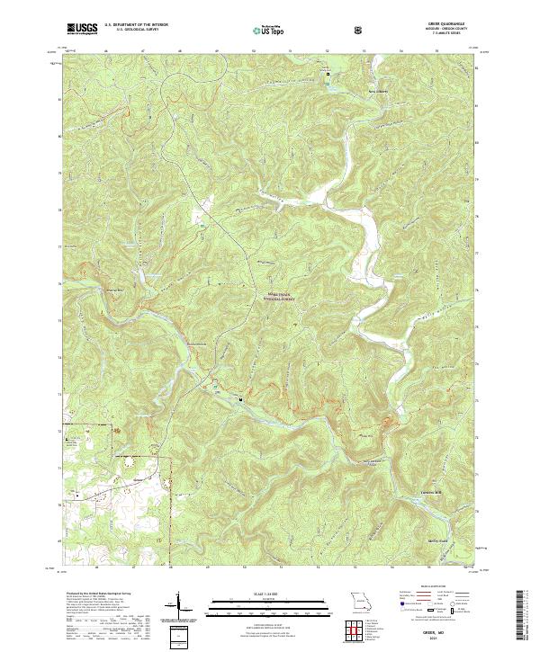
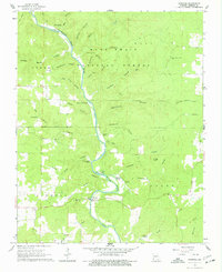
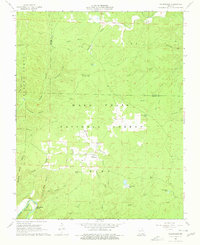
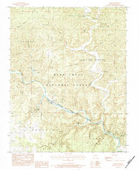
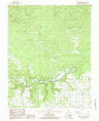
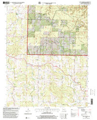
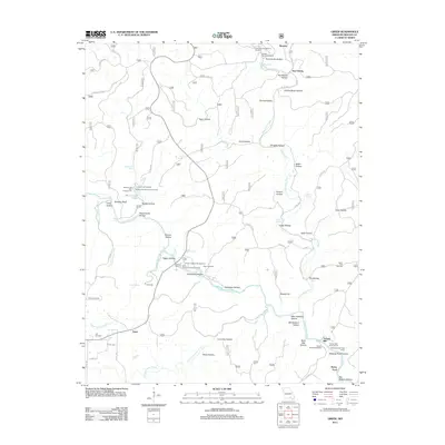
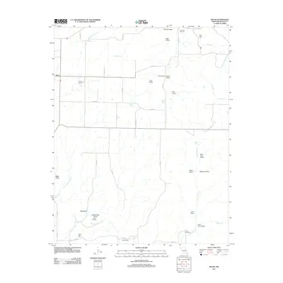
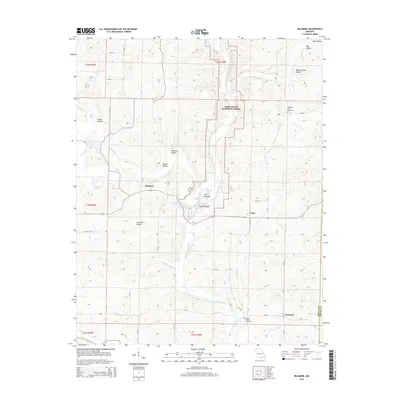
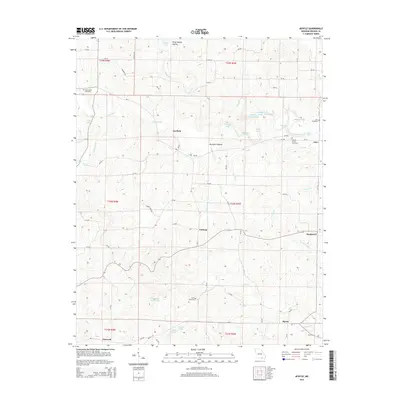
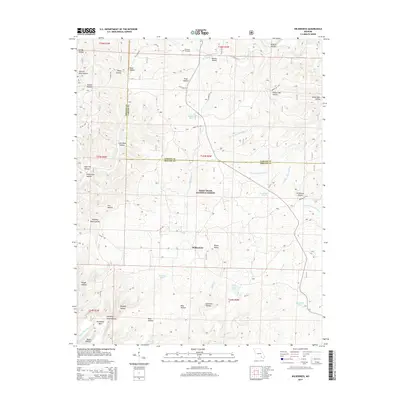
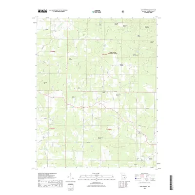
2021 Map of Greer
USGS Topo · Published 2021About this map
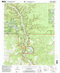
Eleven Point Wild and Scenic River carves a deep path through the heart of the Mark Twain National Forest in this portion of Oregon County. The landscape is defined by an intricate network of hollows, such as Thomasville Hollow and Graveyard Hollow, which feed into the central river system. The settlement of Greer and the nearby Greer Spring represent a significant hydrographic landmark, where the spring branch joins the main river flow.
Find a feature on this map
69 named features on this map. Tap any name to fly to it.
Don’t see what you’re looking for? This feature index may not catch every label — zoom into the map to look around manually.
Map Details
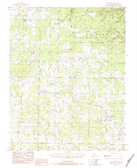
Editions of this 2021 Greer Map
This is the sole edition of this map. No revisions or reprints were ever made.
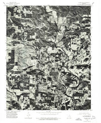
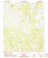
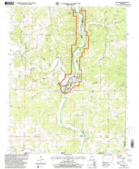
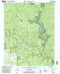
Historical Maps of Turners Mill Through Time
59 maps found
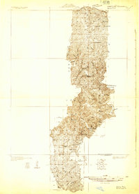
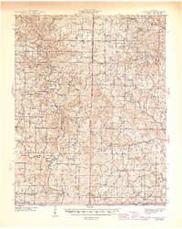
1931 Bandyville
Oregon County, MO
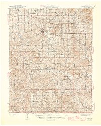
1941 Gatewood
Oregon County, MO
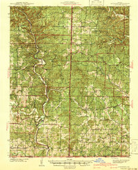
1944 Couch
Oregon County, MO
1945 Gatewood
Oregon County, MO
1946 Couch
Oregon County, MO
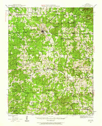
1965 Riverton
Oregon County, MO
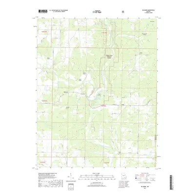
1966 Billmore
Oregon County, MO
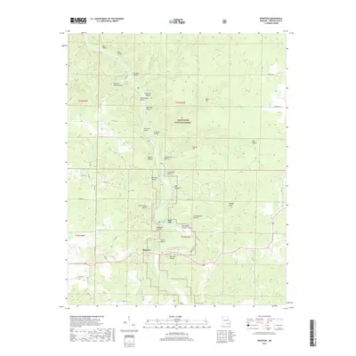
1968 Wilderness
Oregon County, MO
1976 Thayer SE
Oregon County, MO
1982 Couch
Oregon County, MO
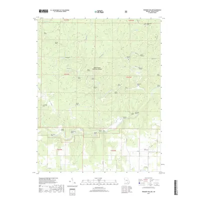
1982 Piedmont Hollow
Oregon County, MO
1983 Greer
Oregon County, MO
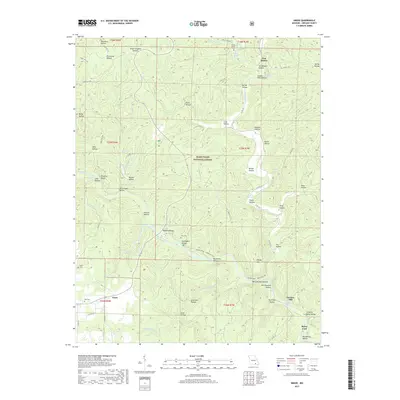
1983 Many Springs
Oregon County, MO
1984 Couch
Oregon County, MO
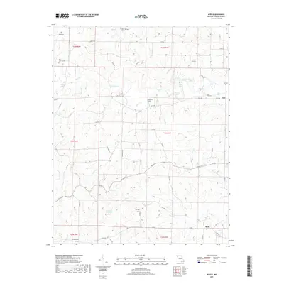
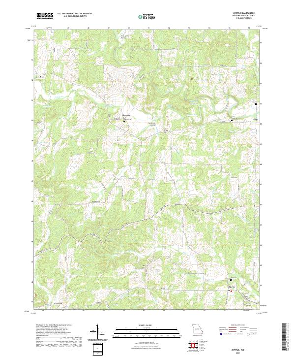
1984 Myrtle
Oregon County, MO
1984 Piedmont Hollow
Oregon County, MO
1986 Rover
Oregon County, MO
1997 Billmore
Oregon County, MO
1997 Greer
Oregon County, MO
1997 Many Springs
Oregon County, MO

1997 Piedmont Hollow
Oregon County, MO
1997 Riverton
Oregon County, MO
1997 Wilderness
Oregon County, MO
2011 Couch
Oregon County, MO
2011 Greer
Oregon County, MO
2011 Many Springs
Oregon County, MO
2011 Myrtle
Oregon County, MO
2011 Riverton
Oregon County, MO
2011 Rover
Oregon County, MO
2012 Billmore
Oregon County, MO
2012 Piedmont Hollow
Oregon County, MO
2012 Wilderness
Oregon County, MO
2015 Billmore
Oregon County, MO
2015 Couch
Oregon County, MO
2015 Greer
Oregon County, MO
2015 Many Springs
Oregon County, MO
2015 Myrtle
Oregon County, MO
2015 Piedmont Hollow
Oregon County, MO
2015 Riverton
Oregon County, MO
2015 Rover
Oregon County, MO
2015 Wilderness
Oregon County, MO
2017 Billmore
Oregon County, MO
2017 Couch
Oregon County, MO
2017 Greer
Oregon County, MO
2017 Many Springs
Oregon County, MO
2017 Myrtle
Oregon County, MO
2017 Piedmont Hollow
Oregon County, MO
2017 Riverton
Oregon County, MO
2017 Rover
Oregon County, MO
2017 Wilderness
Oregon County, MO
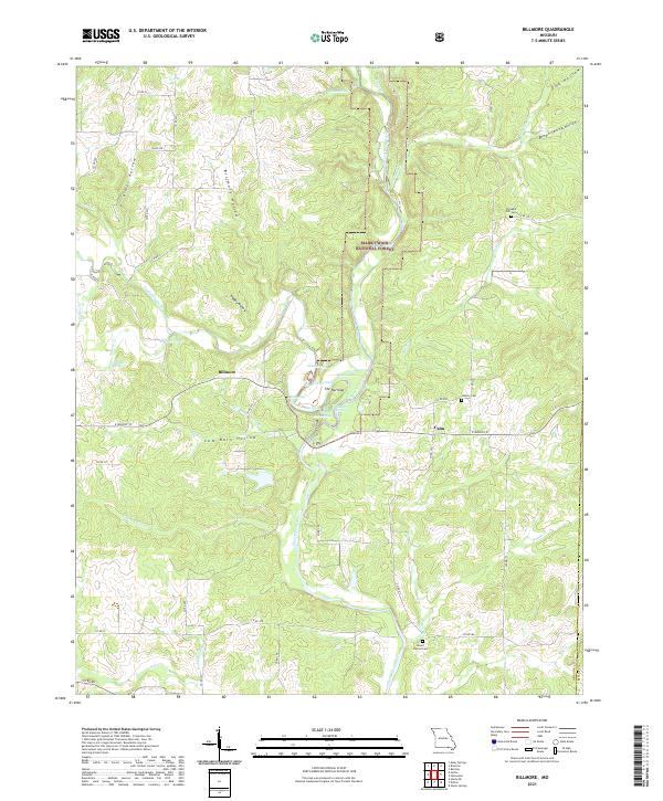
2021 Billmore
Oregon County, MO

2021 Couch
Oregon County, MO
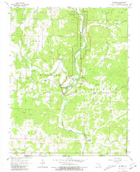
2021 Greer
Oregon County, MO
2021 Many Springs
Oregon County, MO
2021 Myrtle
Oregon County, MO
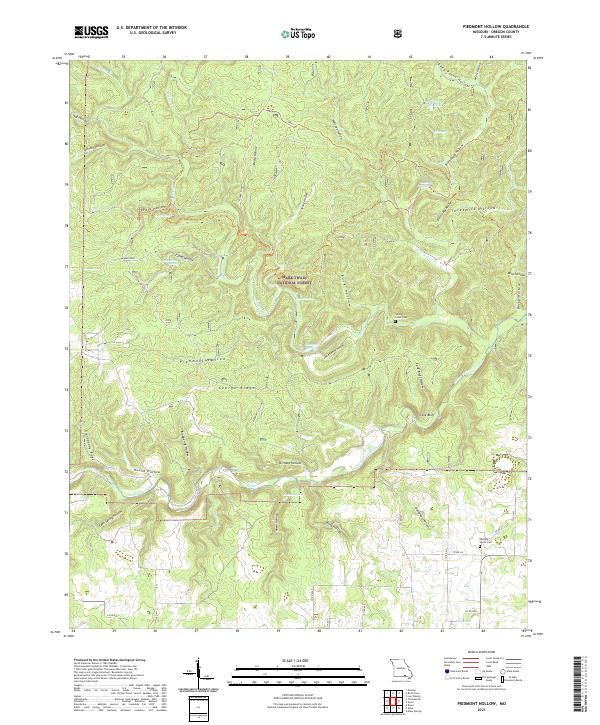
2021 Piedmont Hollow
Oregon County, MO
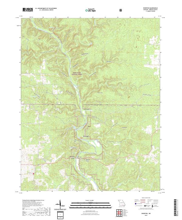
2021 Riverton
Oregon County, MO
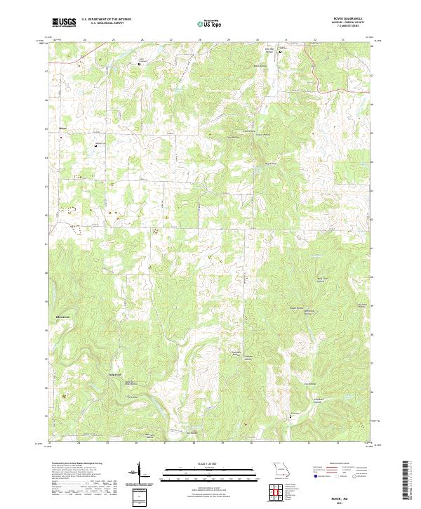
2021 Rover
Oregon County, MO
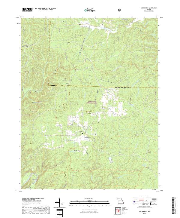
2021 Wilderness
Oregon County, MO