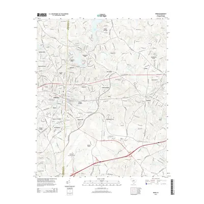
2014 Map of Greer
USGS Topo · Published 2014About this map
Greer sits at the heart of this landscape, where the Greenville-Spartanburg county line bisects a densely developed corridor of suburban growth and industrial heritage. The map details the intricate network of neighborhoods such as Crestview Hills, Apalache, and Victor Heights, showing the residential expansion that followed the region's textile and manufacturing legacy. Along the winding courses of the South Tyger River and Middle Tyger River, smaller settlements like Tyger and Brookdale are visible alongside water features like the Apalachee Mill Pond and Lyman Lake.
Find a feature on this map
289 named features on this map. Tap any name to fly to it.
Don’t see what you’re looking for? This feature index may not catch every label — zoom into the map to look around manually.
Map Details
Editions of this 2014 Greer Map
This is the sole edition of this map. No revisions or reprints were ever made.
Other maps of this area

1907 · Saluda
USGS Topo · 1:125,000

1935 · Greer
USGS Topo · 1:48,000

1935 · Greenville
USGS Topo · 1:48,000

1938 · Greenville
USGS Topo · 1:62,500

1938 · Greer
USGS Topo · 1:62,500

1954 · Greenville
USGS Topo · 1:250,000

1955 · Knoxville
USGS Topo · 1:250,000

1957 · Greer
USGS Topo · 1:62,500

1957 · Greenville
USGS Topo · 1:62,500

1957 · Knoxville
USGS Topo · 1:250,000