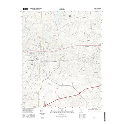
2017 Map of Greer
USGS Topo · Published 2017About this map
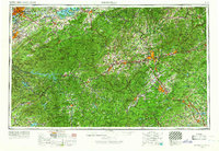
The South Tyger River and Middle Tyger River systems define the industrial and residential geography of this region, which straddles the Greenville Co Spartanburg Co line. Centered on the city of Greer, the landscape is a complex network of established neighborhoods and manufacturing roots, evidenced by areas like Victor Mills and the nearby Apalache settlement. The expansion of regional infrastructure is prominent, anchored by the sprawling Greenville Spartanburg International Airport to the south and the heavy development along the J Verne Smith Pkwy.
Find a feature on this map
58 named features on this map. Tap any name to fly to it.
Don’t see what you’re looking for? This feature index may not catch every label — zoom into the map to look around manually.
Map Details
Editions of this 2017 Greer Map
This is the sole edition of this map. No revisions or reprints were ever made.
Other maps of this area

1907 · Saluda
USGS Topo · 1:125,000
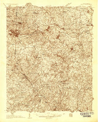
1935 · Greer
USGS Topo · 1:48,000
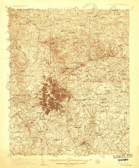
1935 · Greenville
USGS Topo · 1:48,000
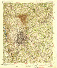
1938 · Greenville
USGS Topo · 1:62,500
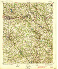
1938 · Greer
USGS Topo · 1:62,500

1954 · Greenville
USGS Topo · 1:250,000
1955 · Knoxville
USGS Topo · 1:250,000
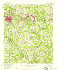
1957 · Greer
USGS Topo · 1:62,500
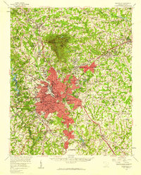
1957 · Greenville
USGS Topo · 1:62,500
1957 · Knoxville
USGS Topo · 1:250,000