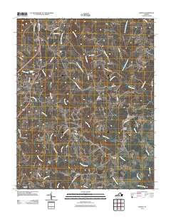
2011 Map of Gretna
USGS Topo · Published 2011About this map
Gretna serves as the primary hub in this portion of Pittsylvania County, situated where the terrain begins to slope toward the many branches of the Stinking River and Georges Creek. The landscape is defined by its agrarian roots and water-powered history, evidenced by landmarks like the Gretna Rolling Mill and the industrial footprint of Vadens Mill. These sites, along with smaller settlements such as Natal, Greenfield, and Chalk Level, indicate a pattern of rural development centered around local milling and agriculture.
Find a feature on this map
47 named features on this map. Tap any name to fly to it.
Don’t see what you’re looking for? This feature index may not catch every label — zoom into the map to look around manually.
Map Details
Editions of this 2011 Gretna Map
This is the sole edition of this map. No revisions or reprints were ever made.
Other maps of this area

1892 · Lynchburg
USGS Topo · 1:125,000

1921 · Chatham
USGS Topo · 1:48,000

1923 · Chatham
USGS Topo · 1:62,500

1947 · Roanoke
USGS Topo · 1:250,000

1951 · Altavista
USGS Topo · 1:62,500

1953 · Greensboro
USGS Topo · 1:250,000

1954 · Greensboro
USGS Topo · 1:250,000

1954 · Riceville
USGS Topo · 1:62,500

1956 · Gladys
USGS Topo · 1:62,500

1959 · Roanoke
USGS Topo · 1:250,000