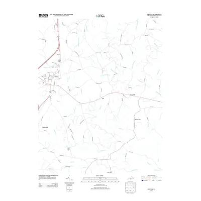
2013 Map of Gretna
USGS Topo · Published 2013About this map
Gretna serves as the primary hub in this portion of Pittsylvania County, where the local economy and geography are defined by the many branches of the Stinking River and Whitehorn Cr. Industrial and agricultural history is evident at Gretna Rolling Mill and Vadens Mill, pointing to a legacy of water-powered milling along the region's numerous creeks. The settlement pattern is characterized by small, dispersed communities such as Chalk Level, Sonans, and Greenfield, connected by a network of rural routes like Telegraph Rd and Rockford School Rd. North of the town center, Gretna Lake provides a notable water feature amidst a landscape bisected by the W Fork Stinking River and N Fork Stinking River. This 2013 survey preserves the locations of legacy place names and local landmarks throughout the Virginia Piedmont.
Find a feature on this map
94 named features on this map. Tap any name to fly to it.
Don’t see what you’re looking for? This feature index may not catch every label — zoom into the map to look around manually.
Map Details
Editions of this 2013 Gretna Map
This is the sole edition of this map. No revisions or reprints were ever made.
Other maps of this area

1892 · Lynchburg
USGS Topo · 1:125,000

1921 · Chatham
USGS Topo · 1:48,000

1923 · Chatham
USGS Topo · 1:62,500

1947 · Roanoke
USGS Topo · 1:250,000

1951 · Altavista
USGS Topo · 1:62,500

1953 · Greensboro
USGS Topo · 1:250,000

1954 · Greensboro
USGS Topo · 1:250,000

1954 · Riceville
USGS Topo · 1:62,500

1956 · Gladys
USGS Topo · 1:62,500

1959 · Roanoke
USGS Topo · 1:250,000