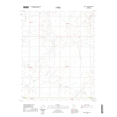
2020 Map of Grey Hill Spring
USGS Topo · Published 2020About this map
Grey Hill Spring serves as a vital point of interest in this high-desert landscape of northwestern New Mexico, located near the boundary between San Juan and McKinley Counties. The terrain is defined by an intricate network of drainage channels including Coyote Wash, Naschitti Wash, and Salt Springs Wash, which carve through the arid plateaus. A series of service routes, such as Indian Svc Rte 69 and Indian Svc Rte 9652, provide the primary access through these townships. The map illustrates the sparsely populated character of the Fort Defiance Agency region, where named landmarks often center on essential water sources and established transit corridors like Naschitti Rd and Roanhorse Jr Rd.
Find a feature on this map
17 named features on this map. Tap any name to fly to it.
Don’t see what you’re looking for? This feature index may not catch every label — zoom into the map to look around manually.
Map Details
Editions of this 2020 Grey Hill Spring Map
This is the sole edition of this map. No revisions or reprints were ever made.
Other maps of this area

1886 · Wingate
USGS Topo · 1:250,000

1889 · Chaco
USGS Topo · 1:250,000

1892 · Wingate
USGS Topo · 1:250,000

1892 · Chaco
USGS Topo · 1:250,000

1954 · Shiprock
USGS Topo · 1:250,000

1954 · Gallup
USGS Topo · 1:250,000

1958 · Gallup
USGS Topo · 1:250,000

1958 · Shiprock
USGS Topo · 1:250,000

1959 · Shiprock
USGS Topo · 1:250,000

1959 · Gallup
USGS Topo · 1:250,000