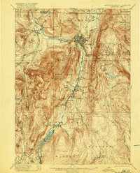
1898 Map of Greylock
USGS Topo · Published 1920About this map
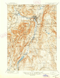
Mt. Greylock dominates the terrain of northern Berkshire County, standing as the focal point of a landscape defined by sharp industrial corridors and steep mountain ranges. At the turn of the century, the Hoosic River valley served as a vital artery for manufacturing and transit, with the Fitchburg R.R. and Boston and Albany RR connecting established mill towns. These rail lines supported a string of settlements including Blackinton, Braytonville, and the specialized industrial site of Zylonite.
Find a feature on this map
123 named features on this map. Tap any name to fly to it.
Don’t see what you’re looking for? This feature index may not catch every label — zoom into the map to look around manually.
Map Details
Editions of this 1898 Greylock Map
10 editions found

1898 edition
15.8 x 20.2 inches
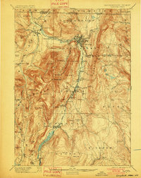
1901 edition
15.7 x 19.8 inches
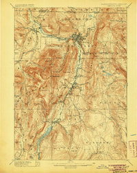
1905 edition
15.8 x 19.9 inches
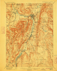
1909 edition
15.7 x 19.6 inches
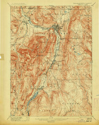
1913 edition
15.7 x 19.8 inches
1920 edition
15.7 x 19.5 inches
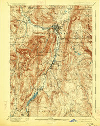
1925 edition
15.7 x 19.7 inches
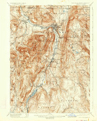
1934 edition
15.7 x 19.7 inches
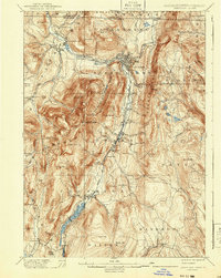
1941 edition
15.8 x 19.8 inches
1941 edition
15.8 x 20.7 inches
Other maps of this area

1886 · Greylock
USGS Topo · 1:62,500

1886 · Hawley
USGS Topo · 1:62,500

1886 · Chesterfield
USGS Topo · 1:62,500

1886 · Becket
USGS Topo · 1:62,500

1888 · Becket
USGS Topo · 1:62,500

1888 · Berlin
USGS Topo · 1:62,500

1888 · Chesterfield
USGS Topo · 1:62,500

1888 · Pittsfield
USGS Topo · 1:62,500

1889 · Wilmington
USGS Topo · 1:62,500

1890 · Hawley
USGS Topo · 1:62,500