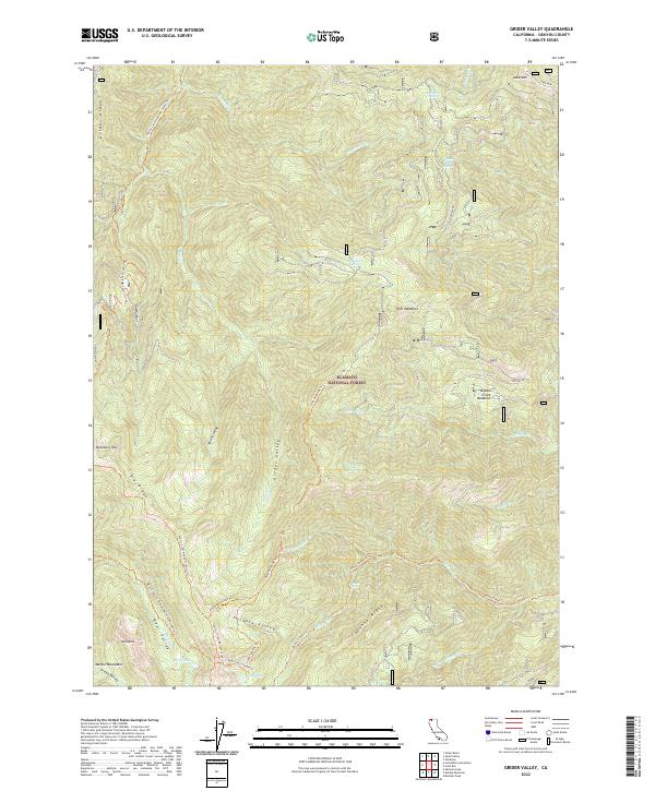
2022 Map of Grider Valley
USGS Topo · Published 2022About this map
The Klamath National Forest dominates this landscape, defined by a complex network of ridges and high-elevation valleys in Siskiyou County. The Pacific Crest National Scenic Trl traverses the western high ground, following Grider Ridge and Big Ridge, providing a crucial transit corridor through the wilderness. Below these heights, the land drops into the secluded Grider Valley and Packers Valley, where water sources like Stud Horse Spring and Faulkstein Spring appear. The drainage pattern is defined by Grider Cr and its tributaries, leading toward the Marble Mountains at the southern edge. This topography reflects a century of forest management and primitive trail building, with specialized routes such as the Bear Creek Trl / Kelsey National Recreation Trl connecting remote landmarks like Bear Lake and Maple Falls.
Find a feature on this map
44 named features on this map. Tap any name to fly to it.
Don’t see what you’re looking for? This feature index may not catch every label — zoom into the map to look around manually.
Map Details
Editions of this 2022 Grider Valley Map
This is the sole edition of this map. No revisions or reprints were ever made.
Other maps of this area

1914 · Seiad
USGS Topo · 1:125,000

1922 · Seiad
USGS Topo · 1:125,000

1948 · Weed
USGS Topo · 1:250,000

1950 · Weed
USGS Topo · 1:250,000

1955 · Seiad Valley
USGS Topo · 1:62,500

1955 · Ukonom Lake
USGS Topo · 1:62,500

1955 · Scott Bar
USGS Topo · 1:62,500

1956 · Happy Camp
USGS Topo · 1:62,500

1958 · Weed
USGS Topo · 1:250,000

1963 · Weed
USGS Topo · 1:250,000