
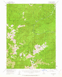
1955 Map of Scott Bar
USGS Topo · Published 1957About this map
Scott Bar stands as the primary hub in this mid-century survey of the Klamath Mountains, where the Scott River winds through a landscape defined by its mining and forestry infrastructure. The area is dotted with numerous established campsites and administrative outposts, including Kelsey Creek Guard Station and the Marble Valley Guard Sta. This era of land management is characterized by a network of trails and jeep tracks connecting remote locations like Faulkstein Camp and Whisky Camp.
Find a feature on this map
143 named features on this map. Tap any name to fly to it.
Don’t see what you’re looking for? This feature index may not catch every label — zoom into the map to look around manually.
Map Details
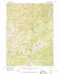
Editions of this 1955 Scott Bar Map
3 editions found
Other maps of this area

1886 · Shasta
USGS Topo · 1:250,000

1894 · Shasta
USGS Topo · 1:250,000

1914 · Seiad
USGS Topo · 1:125,000

1922 · Seiad
USGS Topo · 1:125,000

1923 · Sawyers Bar
USGS Topo · 1:125,000

1931 · Etna
USGS Topo · 1:96,000

1932 · Yreka
USGS Topo · 1:96,000

1934 · Etna
USGS Topo · 1:125,000

1939 · Yreka
USGS Topo · 1:125,000

1948 · Weed
USGS Topo · 1:250,000