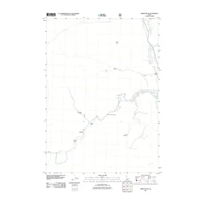
2011 Map of Griffin Butte
USGS Topo · Published 2011About this map
Griffin Butte and the towering presence of Bald Mountain dominate this landscape just west of the Wood River Valley in the early twenty-first century. The area is defined by its hydrothermal features and recreational geography, notably where Warm Springs Creek winds past Guyer Hot Springs and Warfield Hot Spring. These thermal sites, long significant for their geothermal properties, are situated among a series of deep gulches including Adams, Moonlight, and Alturas. The map illustrates the contemporary footprint of local tourism and forestry management, featuring sites like the Warm Springs Campground and Cottonwood Campground. Along the eastern edge, the Big Wood River serves as the primary drainage, joined by smaller tributaries like Fox Creek and Dip Creek. Local landmarks such as Penny Lake and Dollar Lake sit near the developed corridors, reflecting the area's transition from early mining and ranching roots into a modern outdoor destination.
Find a feature on this map
18 named features on this map. Tap any name to fly to it.
Don’t see what you’re looking for? This feature index may not catch every label — zoom into the map to look around manually.
Map Details
Editions of this 2011 Griffin Butte Map
This is the sole edition of this map. No revisions or reprints were ever made.
Other maps of this area

1895 · Hailey
USGS Topo · 1:125,000

1897 · Hailey
USGS Topo · 1:125,000

1900 · Sawtooth
USGS Topo · 1:125,000

1955 · Hailey
USGS Topo · 1:250,000

1959 · Hailey
USGS Topo · 1:250,000

1962 · Hailey
USGS Topo · 1:250,000

1967 · Rock Roll Canyon
USGS Topo · 1:24,000

1967 · Mahoney Butte
USGS Topo · 1:24,000

1967 · Sun Valley
USGS Topo · 1:24,000

1967 · Hailey
USGS Topo · 1:24,000