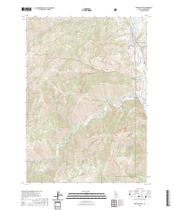
2024 Map of Griffin Butte
USGS Topo · Published 2024About this map
Ketchum serves as the focal point of this mountain landscape, situated at the confluence of the Big Wood River and Warm Springs Creek. The terrain is dominated by the high elevations of the Smoky Mountains and the prominent peak of Bald Mtn, which is crisscrossed by an extensive network of named paths including the Bald Mountain Trl and the Saddle-Up (Trail #417). Much of the western and central portion of the map falls within the Sawtooth National Forest, where steep drainages like Alturas Gulch and Bassett Gulch carve into the slopes.
Find a feature on this map
69 named features on this map. Tap any name to fly to it.
Don’t see what you’re looking for? This feature index may not catch every label — zoom into the map to look around manually.
Map Details
Editions of this 2024 Griffin Butte Map
This is the sole edition of this map. No revisions or reprints were ever made.
Other maps of this area

1895 · Hailey
USGS Topo · 1:125,000

1897 · Hailey
USGS Topo · 1:125,000

1900 · Sawtooth
USGS Topo · 1:125,000

1955 · Hailey
USGS Topo · 1:250,000

1959 · Hailey
USGS Topo · 1:250,000

1962 · Hailey
USGS Topo · 1:250,000

1967 · Rock Roll Canyon
USGS Topo · 1:24,000

1967 · Mahoney Butte
USGS Topo · 1:24,000

1967 · Sun Valley
USGS Topo · 1:24,000

1967 · Hailey
USGS Topo · 1:24,000