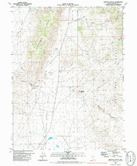
1980 Map of Griffith Canyon
USGS Topo · Published 1988About this map
Spanish Springs Valley and the western foothills of the Pah Rah Range dominate this northern Nevada landscape. The terrain is defined by dry basins like Boneyard Flat and Bacon Rind Flat, separated by the prominent elevation of Hungry Ridge. Water sources in this arid environment are sparse, marked by the vital Little Hungry Spring and a small ditch in the southern valley floor.
Find a feature on this map
23 named features on this map. Tap any name to fly to it.
Don’t see what you’re looking for? This feature index may not catch every label — zoom into the map to look around manually.
Map Details
Editions of this 1980 Griffith Canyon Map
2 editions found
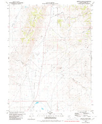
Other maps of this area

1891 · Reno
USGS Topo · 1:125,000

1893 · Reno
USGS Topo · 1:125,000

1950 · Reno
USGS Topo · 1:62,500

1951 · Reno
USGS Topo · 1:62,500

1957 · Sutcliffe
USGS Topo · 1:62,500
1957 · Vista
USGS Topo · 1:24,000

1957 · Dogskin Mountain
USGS Topo · 1:62,500

1957 · Spanish Springs Valley
USGS Topo · 1:62,500

1957 · Reno
USGS Topo · 1:250,000

1959 · Reno
USGS Topo · 1:250,000