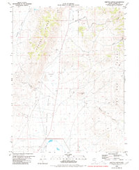
1980 Map of Griffith Canyon
USGS Topo · Published 1980About this map
Spanish Springs Valley and the surrounding high desert terrain define this 1980 survey, dominated by the stark topography of the Pah Rah Range and Hungry Ridge. The landscape is characterized by its drainage patterns and resource extraction points, with numerous prospects, gravel pits, and sandpits scattered throughout the canyons. Local navigation relies on a network of named tracks and trails, including Axe Handle Canyon Road and Bacon Rind Road, which provide access to remote landmarks like Sugarloaf Peak and the tucked-away Little Hungry Spring.
Find a feature on this map
21 named features on this map. Tap any name to fly to it.
Don’t see what you’re looking for? This feature index may not catch every label — zoom into the map to look around manually.
Map Details
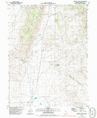
Editions of this 1980 Griffith Canyon Map
2 editions found
Other maps of this area

1891 · Reno
USGS Topo · 1:125,000

1893 · Reno
USGS Topo · 1:125,000

1950 · Reno
USGS Topo · 1:62,500

1951 · Reno
USGS Topo · 1:62,500

1957 · Sutcliffe
USGS Topo · 1:62,500
1957 · Vista
USGS Topo · 1:24,000

1957 · Dogskin Mountain
USGS Topo · 1:62,500

1957 · Spanish Springs Valley
USGS Topo · 1:62,500

1957 · Reno
USGS Topo · 1:250,000

1959 · Reno
USGS Topo · 1:250,000