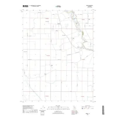
2018 Map of Grimes
USGS Topo · Published 2018About this map
The settlement of Grimes sits along the winding course of the Sacramento River on the border between Colusa and Sutter Counties. This landscape is defined by its sophisticated water management systems, including the Colusa-Basin-Drainage-Canal and several sloughs like Sycamore Slough and Byers Slough. The heavy reliance on aviation for agricultural or private use is evident through numerous specialized landing strips scattered across the basin, including Balsdon Airport, Sanborn Airport, and the Farnsworth Ranch-Airstrip. Genealogists may find interest in the centrally located Grand Island Cem, situated north of Munson-Basin. The map reveals a highly structured grid of rural roads, such as Grimes-Arbuckle Rd and Tule Rd, which support the intensive irrigation and drainage networks that dominate this low-lying valley floor.
Find a feature on this map
49 named features on this map. Tap any name to fly to it.
Don’t see what you’re looking for? This feature index may not catch every label — zoom into the map to look around manually.
Map Details
Editions of this 2018 Grimes Map
This is the sole edition of this map. No revisions or reprints were ever made.
Other maps of this area
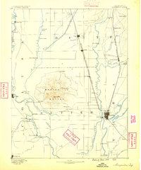
1888 · Marysville
USGS Topo · 1:125,000
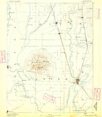
1891 · Marysville
USGS Topo · 1:125,000
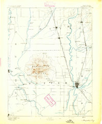
1894 · Marysville
USGS Topo · 1:125,000
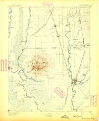
1895 · Marysville
USGS Topo · 1:125,000
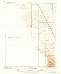
1905 · Harrington
USGS Topo · 1:24,000
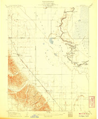
1907 · Dunnigan
USGS Topo · 1:62,500
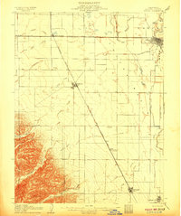
1907 · Colusa
USGS Topo · 1:62,500
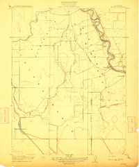
1911 · Grimes
USGS Topo · 1:31,680
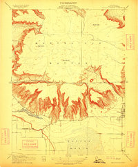
1912 · Marysville Buttes
USGS Topo · 1:31,680
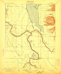
1912 · Meridian
USGS Topo · 1:31,680