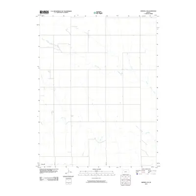
2010 Map of Grinnell NE
USGS Topo · Published 2010About this map
Spring Brook Creek meanders across this rural section of Gove County, Kansas, revealing a landscape defined by its vital watercourses. The drainage patterns shown in this 2010 survey reflect the agricultural character of the High Plains, where seasonal streams and intermittent rivers shape the land use. The Saline River cuts through the southern portion of the area, providing a primary hydrological feature for local land surveys. Further south, the map captures the headwaters of the Grinnell North Fork Big Creek, illustrating the divide between the Saline and Smoky Hill river basins. This map is essential for understanding modern drainage and property boundaries in this sparsely populated region of western Kansas.
Find a feature on this map
3 named features on this map. Tap any name to fly to it.
Don’t see what you’re looking for? This feature index may not catch every label — zoom into the map to look around manually.
Map Details
Editions of this 2010 Grinnell NE Map
This is the sole edition of this map. No revisions or reprints were ever made.
Other maps of this area

1954 · Goodland
USGS Topo · 1:250,000

1956 · Goodland
USGS Topo · 1:250,000

1957 · Goodland
USGS Topo · 1:250,000

1979 · Menlo
USGS Topo · 1:24,000

1979 · Midway Draw West
USGS Topo · 1:24,000
1979 · Grainfield
USGS Topo · 1:24,000

1979 · Hoxie
USGS Topo · 1:24,000
1979 · Grinnell South
USGS Topo · 1:24,000

1979 · Grinnell NE
USGS Topo · 1:24,000
1979 · Sunny Slope Lake
USGS Topo · 1:24,000