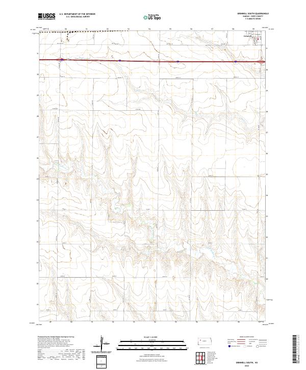
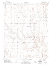
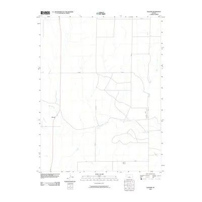
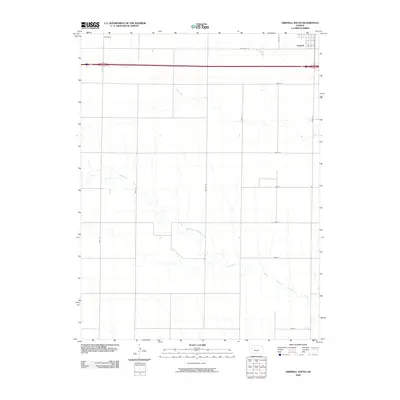
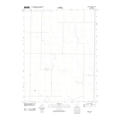
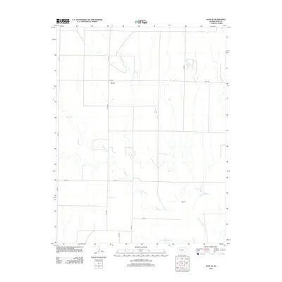
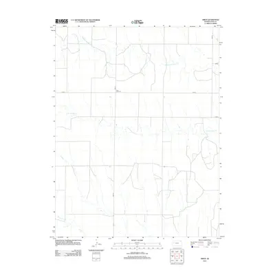
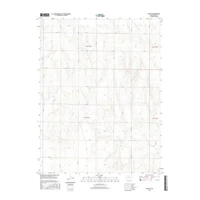
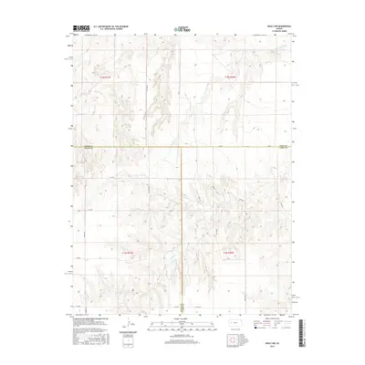
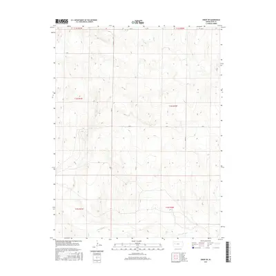
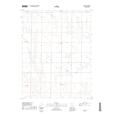
2022 Map of Grinnell South
USGS Topo · Published 2022About this map
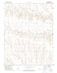
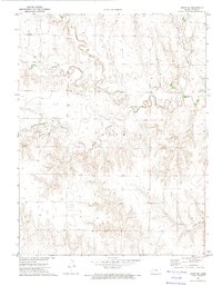
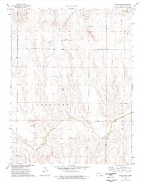
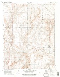
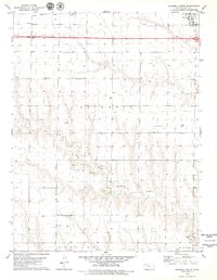
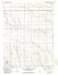
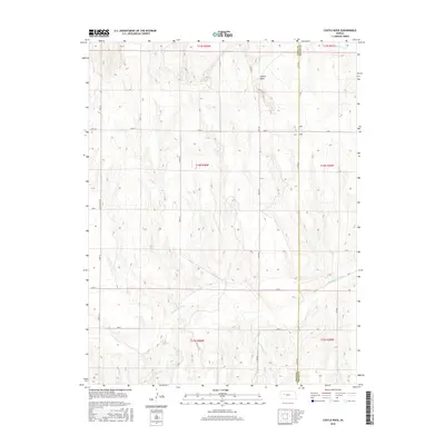
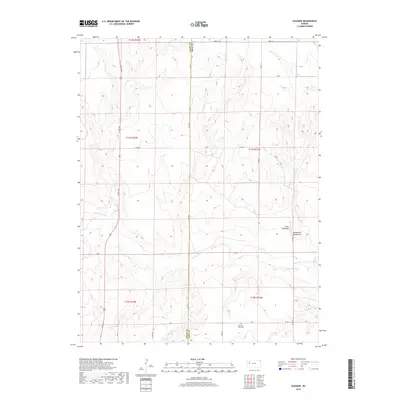
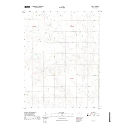
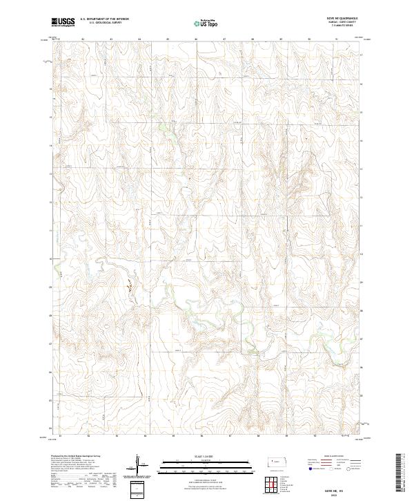
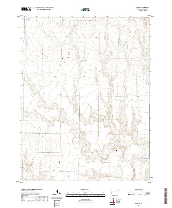
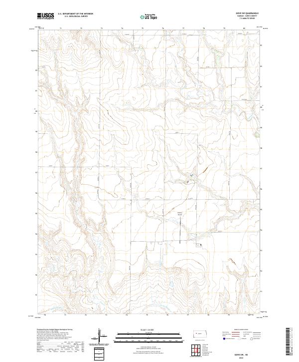
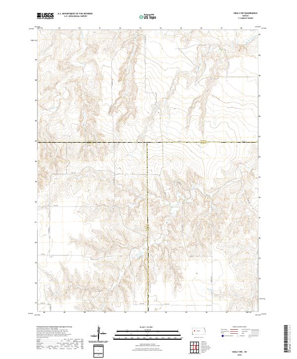
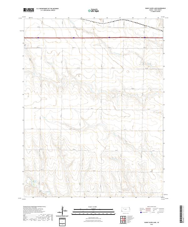
Grinnell sits at the northern edge of this Gove County landscape, where the residential grid of 2nd St and S Adams St meets the historic corridor of Old Hwy 40. This contemporary survey illustrates a high-plains environment defined by expansive agricultural sections and the drainage patterns of western Kansas. The northern portion of the map is dominated by the course of Big Cr, while the southern half transitions into more complex topography carved by the N Br Hackberry Cr. The section-line road network, including Campas Rd and Grove Cc, provides a rigid structure to the landscape, contrasting with the meandering natural breaks of the creek beds. This map is particularly useful for observing how modern infrastructure and legacy routes like the old highway continue to shape the development and connectivity of rural Gove County.
Find a feature on this map
24 named features on this map. Tap any name to fly to it.
Don’t see what you’re looking for? This feature index may not catch every label — zoom into the map to look around manually.
Map Details
Editions of this 2022 Grinnell South Map
This is the sole edition of this map. No revisions or reprints were ever made.
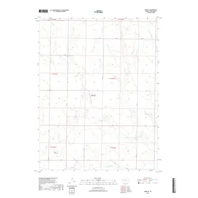
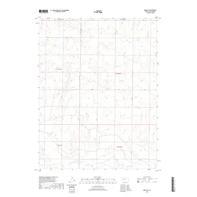
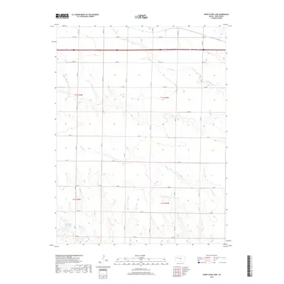
Historical Maps of Grinnell Through Time
84 maps found
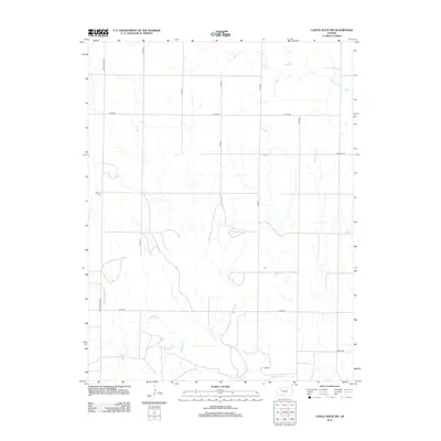
1972 Castle Rock NW
Gove County, KS
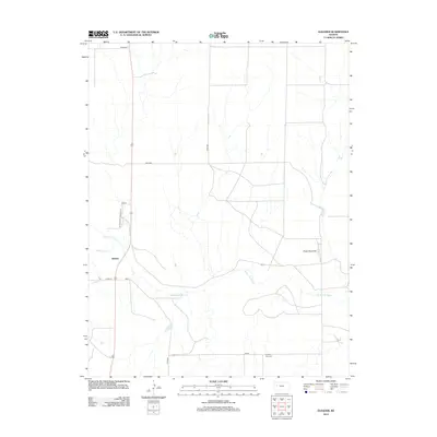
1972 Gove
Gove County, KS
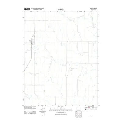
1972 Gove NE
Gove County, KS
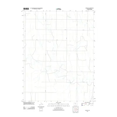
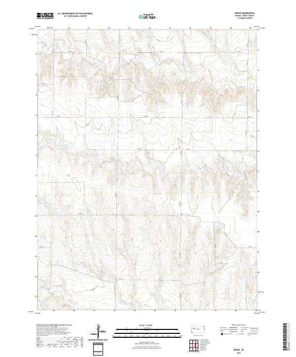
1972 Orion
Gove County, KS
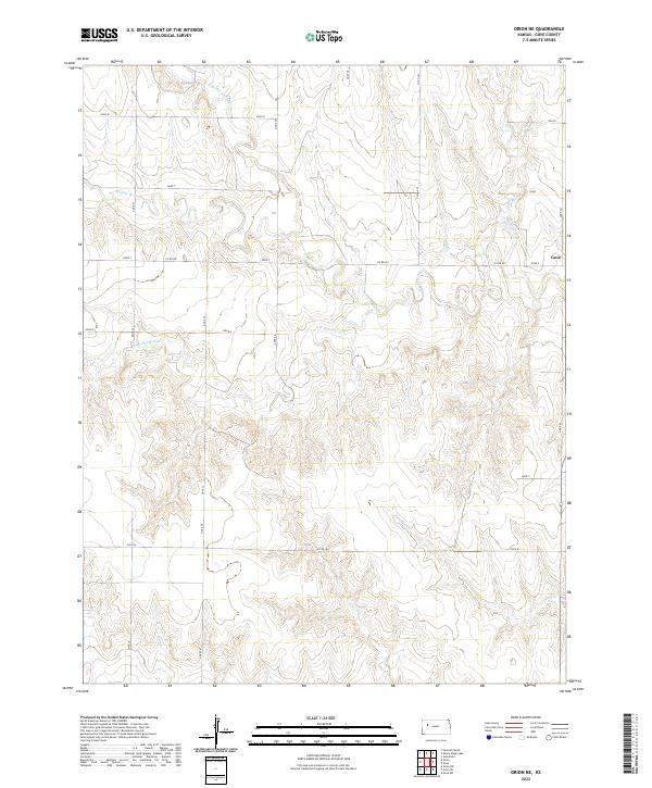
1972 Orion NE
Gove County, KS
1974 Castle Rock
Gove County, KS
1974 Elkader
Gove County, KS
1974 Gove SE
Gove County, KS
1974 Gove SW
Gove County, KS

1974 Healy NW
Gove County, KS
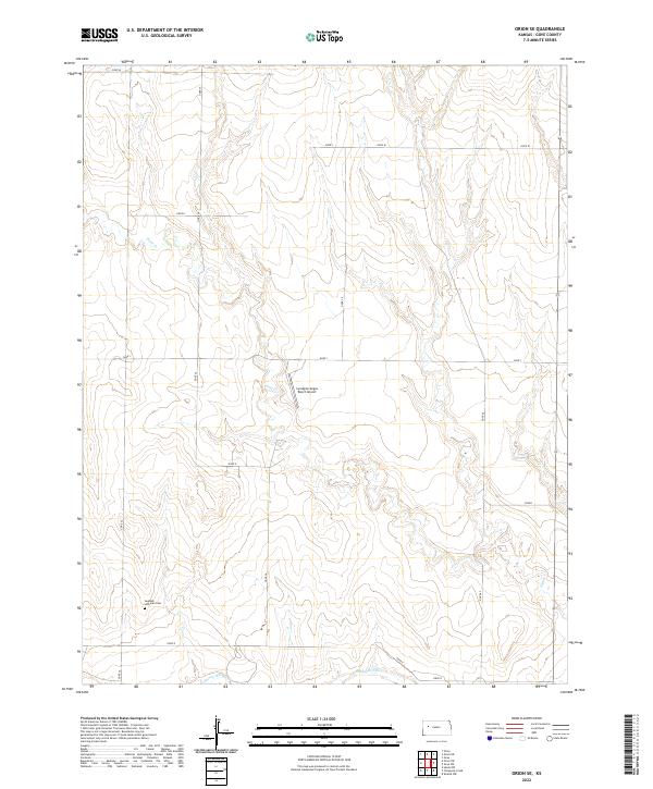
1974 Orion SE
Gove County, KS
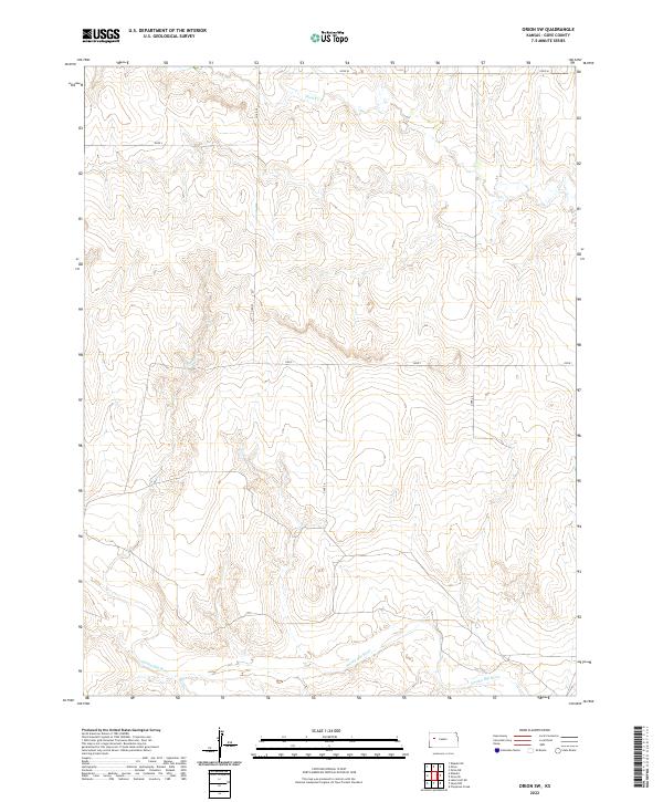
1974 Orion SW
Gove County, KS
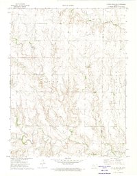
1979 Grinnell South
Gove County, KS
1979 Sunny Slope Lake
Gove County, KS
2009 Castle Rock
Gove County, KS
2009 Castle Rock NW
Gove County, KS
2009 Elkader
Gove County, KS

2009 Gove
Gove County, KS
2009 Gove NE
Gove County, KS
2009 Gove SE
Gove County, KS
2009 Gove SW
Gove County, KS
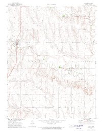
2009 Grinnell South
Gove County, KS
2009 Healy NW
Gove County, KS
2009 Orion
Gove County, KS
2009 Orion NE
Gove County, KS
2009 Orion SE
Gove County, KS
2009 Orion SW
Gove County, KS
2009 Sunny Slope Lake
Gove County, KS
2012 Castle Rock
Gove County, KS
2012 Castle Rock NW
Gove County, KS
2012 Elkader
Gove County, KS
2012 Gove
Gove County, KS
2012 Gove NE
Gove County, KS
2012 Gove SE
Gove County, KS
2012 Gove SW
Gove County, KS
2012 Grinnell South
Gove County, KS
2012 Healy NW
Gove County, KS
2012 Orion
Gove County, KS
2012 Orion NE
Gove County, KS
2012 Orion SE
Gove County, KS
2012 Orion SW
Gove County, KS

2012 Sunny Slope Lake
Gove County, KS
2015 Castle Rock
Gove County, KS
2015 Castle Rock NW
Gove County, KS
2015 Elkader
Gove County, KS
2015 Gove
Gove County, KS
2015 Gove NE
Gove County, KS
2015 Gove SE
Gove County, KS
2015 Gove SW
Gove County, KS
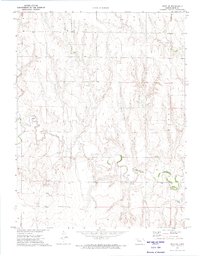
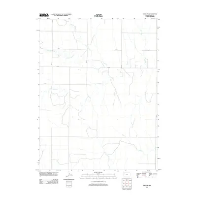
2015 Grinnell South
Gove County, KS
2015 Healy NW
Gove County, KS
2015 Orion
Gove County, KS
2015 Orion NE
Gove County, KS
2015 Orion SE
Gove County, KS
2015 Orion SW
Gove County, KS
2015 Sunny Slope Lake
Gove County, KS
2018 Castle Rock
Gove County, KS
2018 Castle Rock NW
Gove County, KS
2018 Elkader
Gove County, KS
2018 Gove
Gove County, KS
2018 Gove NE
Gove County, KS
2018 Gove SE
Gove County, KS
2018 Gove SW
Gove County, KS
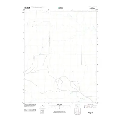
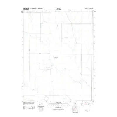
2018 Grinnell South
Gove County, KS
2018 Healy NW
Gove County, KS
2018 Orion
Gove County, KS
2018 Orion NE
Gove County, KS
2018 Orion SE
Gove County, KS
2018 Orion SW
Gove County, KS
2018 Sunny Slope Lake
Gove County, KS
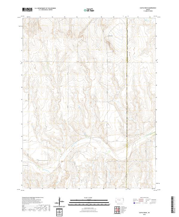
2022 Castle Rock
Gove County, KS
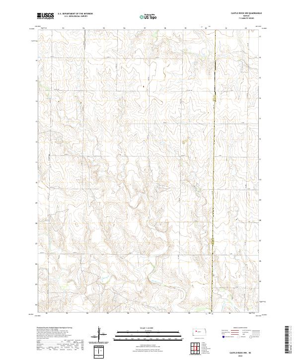
2022 Castle Rock NW
Gove County, KS
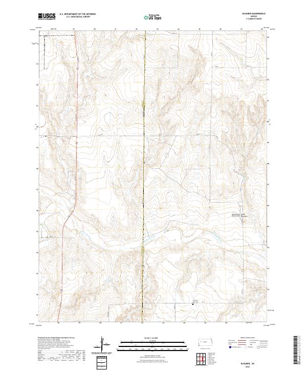
2022 Elkader
Gove County, KS
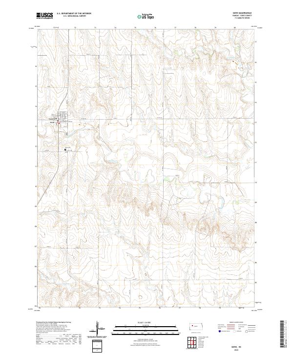
2022 Gove
Gove County, KS
2022 Gove NE
Gove County, KS
2022 Gove SE
Gove County, KS
2022 Gove SW
Gove County, KS
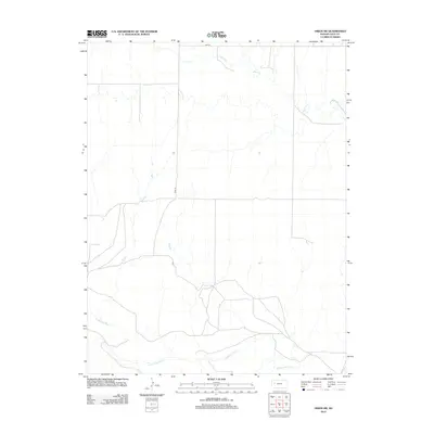
2022 Grinnell South
Gove County, KS
2022 Healy NW
Gove County, KS
2022 Orion
Gove County, KS
2022 Orion NE
Gove County, KS
2022 Orion SE
Gove County, KS
2022 Orion SW
Gove County, KS
2022 Sunny Slope Lake
Gove County, KS