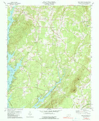
1981 Map of Grist Mountain
USGS Topo · Published 1990About this map
High Rock Lake defines the western edge of this landscape, its fingers reaching into the backcountry through inlets like Abbotts Creek and Swamp Creek. The interior is a mixture of small rural settlements and religious centers such as Silver Hill and Cedar Grove. The transportation network is anchored by the Winston-Salem Southbound railroad, which skirts the shoreline. Local heritage is preserved in a concentration of community landmarks, including Bethany Ch, Floyd Ch, and several family-named cemeteries like Workman Cem. Notable elevation changes occur toward the east at Grist Mtn and Wildcat Mtn, while the crossing at Brown Loftin Bridge provides a vital link over the lower reaches of Swamp Creek. This 1980s-era survey captures the area's transition into a residential and recreational corridor near Oakwood Acres.
Find a feature on this map
32 named features on this map. Tap any name to fly to it.
Don’t see what you’re looking for? This feature index may not catch every label — zoom into the map to look around manually.
Map Details
Editions of this 1981 Grist Mountain Map
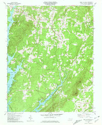
2 editions found
Other maps of this area

1949 · High Rock
USGS Topo · 1:24,000

1949 · Denton NW
USGS Topo · 1:24,000

1950 · Lexington East
USGS Topo · 1:24,000

1950 · Lexington West
USGS Topo · 1:24,000

1951 · Lexington East
USGS Topo · 1:24,000

1951 · Lexington West
USGS Topo · 1:24,000

1951 · Fair Grove
USGS Topo · 1:24,000

1953 · Charlotte
USGS Topo · 1:250,000

1954 · Charlotte
USGS Topo · 1:250,000

1957 · Denton
USGS Topo · 1:62,500