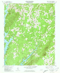
1981 Map of Grist Mountain
USGS Topo · Published 1981About this map
High Rock Lake and its intricate shoreline dominate the western landscape of this Davidson County survey, where the waters of Abbotts Creek meet the surrounding foothills. The rural character of the region is defined by a network of small communities and family landmarks, including Silver Hill and Cedar Grove. Transportation and industry are centered on the Winston-Salem Southbound railroad line, which cuts through the northern section near Central High School. A lone Mine located south of Bethany Ch points to the area's mineral history, while the crossing at Brown Loftin Bridge connects the lands divided by Flat Swamp Creek. Genealogists will find a wealth of specific data points, from the Workman Cem to the New Jerusalem Cem, reflecting the deep-rooted settlement patterns of these Piedmont ridges and valleys.
Find a feature on this map
35 named features on this map. Tap any name to fly to it.
Don’t see what you’re looking for? This feature index may not catch every label — zoom into the map to look around manually.
Map Details
Editions of this 1981 Grist Mountain Map
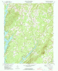
2 editions found
Other maps of this area

1949 · High Rock
USGS Topo · 1:24,000

1949 · Denton NW
USGS Topo · 1:24,000

1950 · Lexington East
USGS Topo · 1:24,000

1950 · Lexington West
USGS Topo · 1:24,000

1951 · Lexington East
USGS Topo · 1:24,000

1951 · Lexington West
USGS Topo · 1:24,000

1951 · Fair Grove
USGS Topo · 1:24,000

1953 · Charlotte
USGS Topo · 1:250,000

1954 · Charlotte
USGS Topo · 1:250,000

1957 · Denton
USGS Topo · 1:62,500