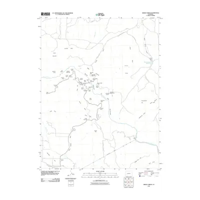
2010 Map of Grizzly Ridge
USGS Topo · Published 2010About this map
Fruitland Mesa and the surrounding high plateaus define this landscape, where the deeply carved path of the Gunnison River creates a dramatic series of overlooks and geologic formations. This 2010 survey shows the intricate water management system necessary for this environment, featuring the Vernal Mesa Ditch, East Lateral, and the significant engineering of the River Portal Tunnel near East Portal.
Find a feature on this map
71 named features on this map. Tap any name to fly to it.
Don’t see what you’re looking for? This feature index may not catch every label — zoom into the map to look around manually.
Map Details
Editions of this 2010 Grizzly Ridge Map
This is the sole edition of this map. No revisions or reprints were ever made.
Other maps of this area

1909 · Montrose
USGS Topo · 1:125,000

1911 · Montrose
USGS Topo · 1:125,000

1955 · Black Ridge
USGS Topo · 1:24,000

1955 · Red Rock Canyon
USGS Topo · 1:24,000

1956 · Cimarron
USGS Topo · 1:24,000

1956 · Montrose
USGS Topo · 1:250,000

1957 · Cathedral Peak
USGS Topo · 1:24,000

1957 · Cerro Summit
USGS Topo · 1:24,000

1957 · Grizzly Ridge
USGS Topo · 1:24,000

1959 · Montrose
USGS Topo · 1:250,000