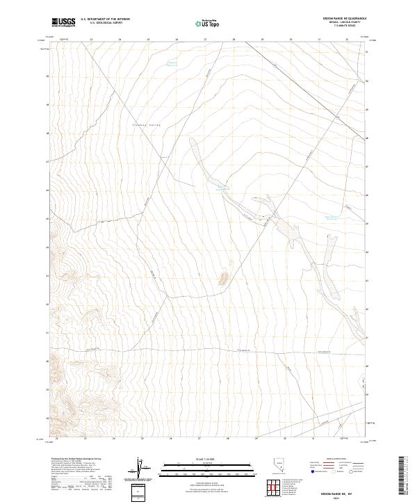
2021 Map of Groom Range NE
USGS Topo · Published 2021About this map
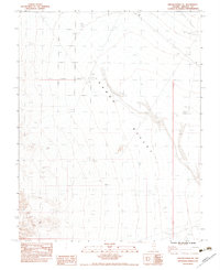
Tikaboo Valley defines this arid landscape in Lincoln County, where water management is the primary marker of human presence. The terrain is characterized by a network of catchments including Tungsten Reservoir to the north and the elongated Quail Reservoir situated near the center of the quadrangle. These isolated water sources are linked by a sparse grid of unpaved tracks, reflecting the logistical challenges of the high desert.
Find a feature on this map
16 named features on this map. Tap any name to fly to it.
Don’t see what you’re looking for? This feature index may not catch every label — zoom into the map to look around manually.
Map Details
Editions of this 2021 Groom Range NE Map
This is the sole edition of this map. No revisions or reprints were ever made.
Other maps of this area

1942 · Emigrant Valley
USGS Topo · 1:125,000

1942 · Penoyer Valley
USGS Topo · 1:125,000

1945 · Alamo
USGS Topo · 1:125,000

1954 · Caliente
USGS Topo · 1:250,000

1959 · Caliente
USGS Topo · 1:250,000

1964 · Tempiute Mtn
USGS Topo · 1:62,500
1983 · Cutler Reservoir
USGS Topo · 1:24,000
1983 · Groom Range SE
USGS Topo · 1:24,000
1983 · Crescent Reservoir
USGS Topo · 1:24,000
1983 · Groom Range NE
USGS Topo · 1:24,000