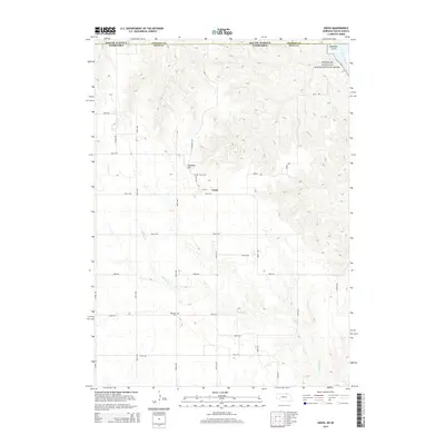
2014 Map of Gross
USGS Topo · Published 2014About this map
The tiny settlement of Gross sits within a landscape of etched drainages and rolling uplands near the South Dakota and Nebraska border. This 2014 survey documents the area just south of the Missouri River, where the Missouri National Recreational River corridor protects the natural character of the waterway. The terrain is defined by significant elevation changes, notably at Ninemile Hill and the deep cut of Ninemile Gulch in the northeast. Local history is anchored by the Gross Cem and Rosedale Cem, providing key points of reference for genealogists tracing families in Boyd County. A network of rural section-line roads, including 905th Rd and Quebec Rd, connects the scattered farmsteads and agricultural plots that dominate the interior. Numerous branches of Whisky Cr wind through the hills, illustrating the complex drainage patterns that shape this portion of the Great Plains.
Find a feature on this map
33 named features on this map. Tap any name to fly to it.
Don’t see what you’re looking for? This feature index may not catch every label — zoom into the map to look around manually.
Map Details
Editions of this 2014 Gross Map
This is the sole edition of this map. No revisions or reprints were ever made.
Other maps of this area
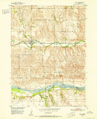
1950 · Lynch
USGS Topo · 1:24,000
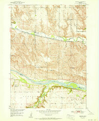
1951 · Bristow
USGS Topo · 1:24,000
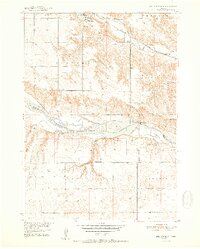
1952 · Spencer South
USGS Topo · 1:24,000
1955 · Mitchell
USGS Topo · 1:250,000
1955 · O'Neill
USGS Topo · 1:250,000
1959 · O'Neill
USGS Topo · 1:250,000
1959 · Mitchell
USGS Topo · 1:250,000
1964 · Fort Randall Dam
USGS Topo · 1:24,000
1964 · Gross
USGS Topo · 1:24,000
1964 · Lake Andes SW
USGS Topo · 1:24,000