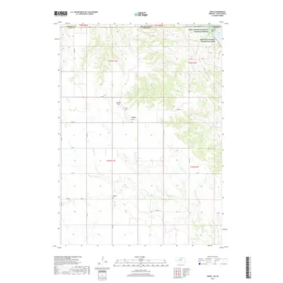
2017 Map of Gross
USGS Topo · Published 2017About this map
Gross stands as a small crossroads settlement in Boyd County, Nebraska, just south of the S Dakota Border. This 2017 survey details a landscape primarily defined by the drainage of Whisky Cr and the high ground of Ninemile Hill. Along the northern edge, the map documents the Karl E Mundt National Wildlife Refuge and the Missouri National Recreation River, where the terrain drops sharply toward the Missouri River at Ninemile Gulch. For those tracing local heritage, the map identifies specific burial sites such as Gross Cem and Rosedale Cem. The township grid system is well-defined by rural routes like Ridge Rd and Seneca Rd, reflecting the enduring agricultural organization of this borderland region.
Find a feature on this map
39 named features on this map. Tap any name to fly to it.
Don’t see what you’re looking for? This feature index may not catch every label — zoom into the map to look around manually.
Map Details
Editions of this 2017 Gross Map
This is the sole edition of this map. No revisions or reprints were ever made.
Other maps of this area
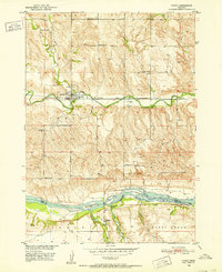
1950 · Lynch
USGS Topo · 1:24,000
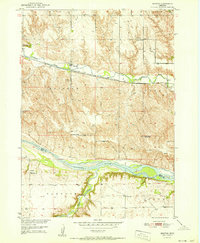
1951 · Bristow
USGS Topo · 1:24,000
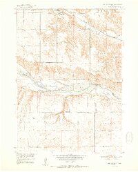
1952 · Spencer South
USGS Topo · 1:24,000
1955 · Mitchell
USGS Topo · 1:250,000
1955 · O'Neill
USGS Topo · 1:250,000
1959 · O'Neill
USGS Topo · 1:250,000
1959 · Mitchell
USGS Topo · 1:250,000
1964 · Fort Randall Dam
USGS Topo · 1:24,000
1964 · Gross
USGS Topo · 1:24,000
1964 · Lake Andes SW
USGS Topo · 1:24,000